2016 | Long distance hiking | USA
Pacific Crest Trail Sobo
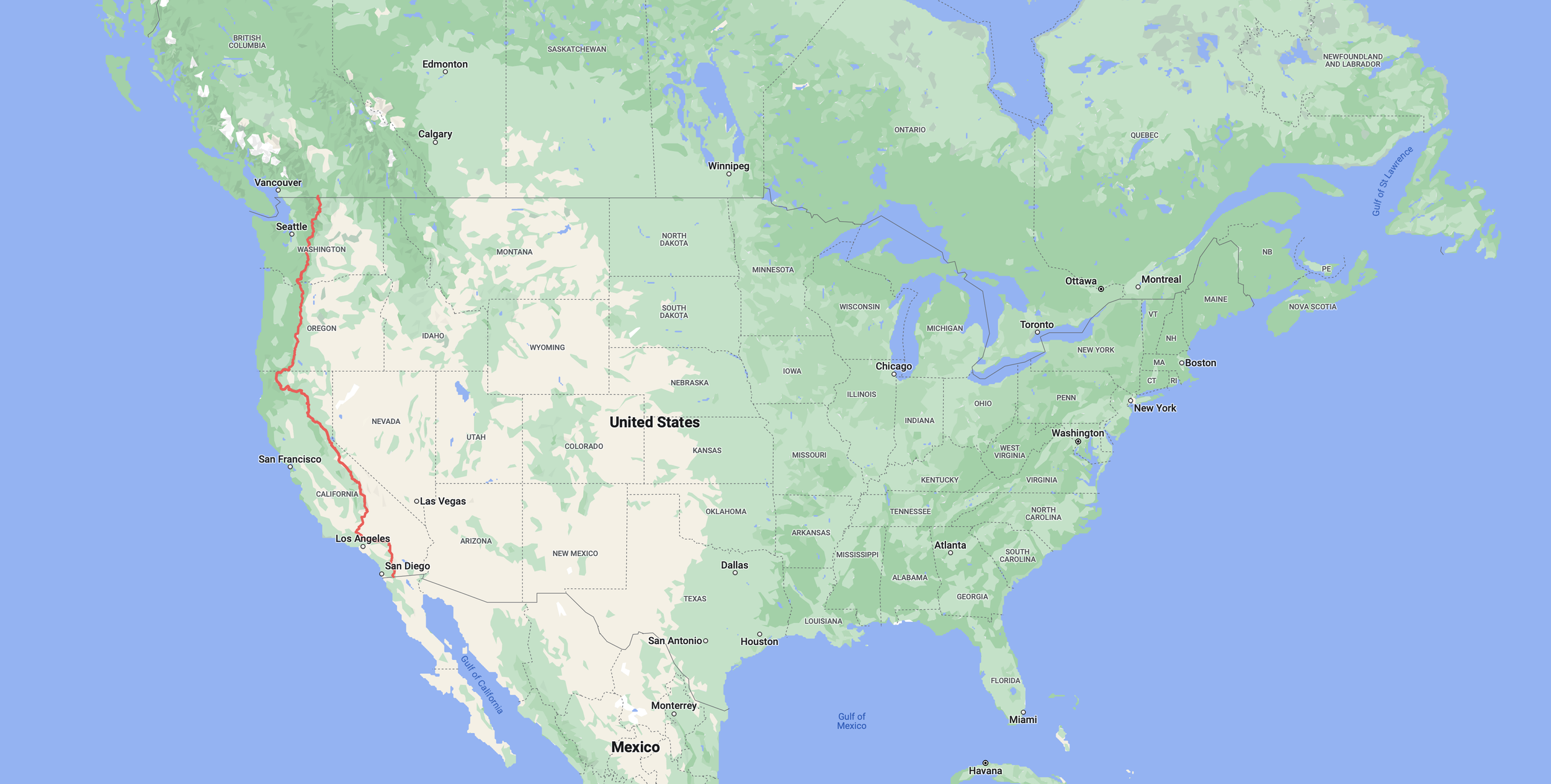
Southbound – from the border of Canada to the border of Mexico.
2650
Miles
482,741ft
Elevation gain
13,153ft
Highest point
97
Nights in my tent
134
Total days

THE START
Border of Mexico – 15th July 2016. With Catwater, Dan and Jackie

THE FINISH
Border of Canada – 25th November 2016. With Catwater, my American Mom.
A trail so nice I hiked it twice.
After hiking the Pacific Crest Trail going north in 2015, I returned in 2016 to hike the trail in the other direction.
Many people questioned my desire to go back and hike the same trail, but it was a totally different experience. I also felt like I had unfinished business with the trail from my northbound hike.
Whilst I now feel content with my journeys along the Pacific Crest Trail, I could easily hike it every year, knowing that each time would give me something different.
Maybe I’ll do it again one day.

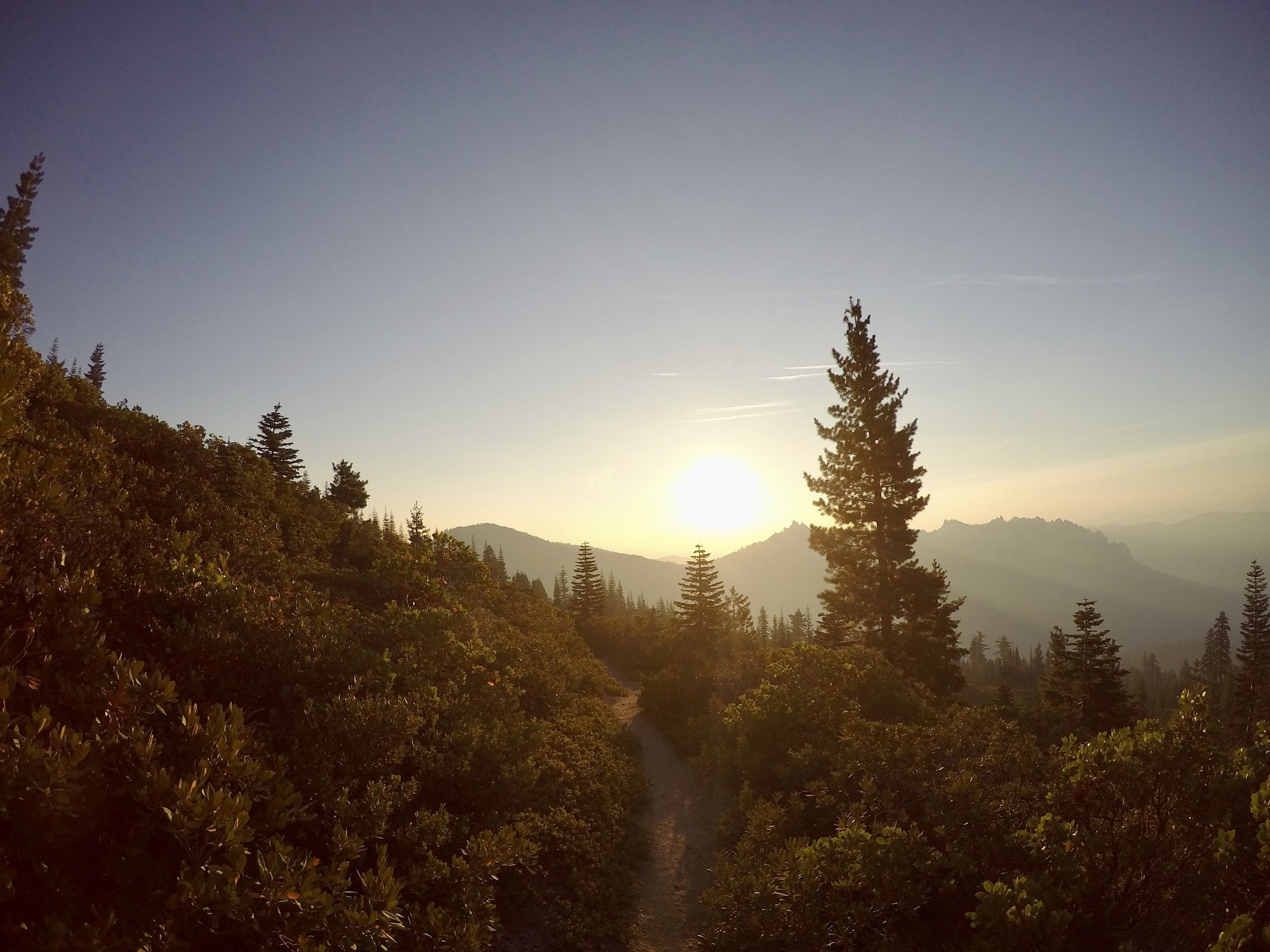
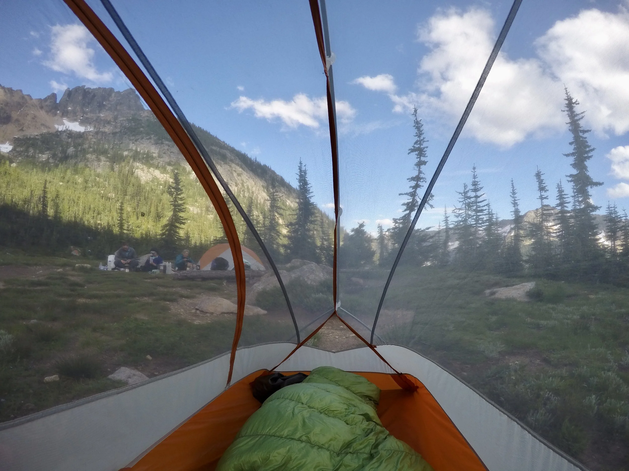
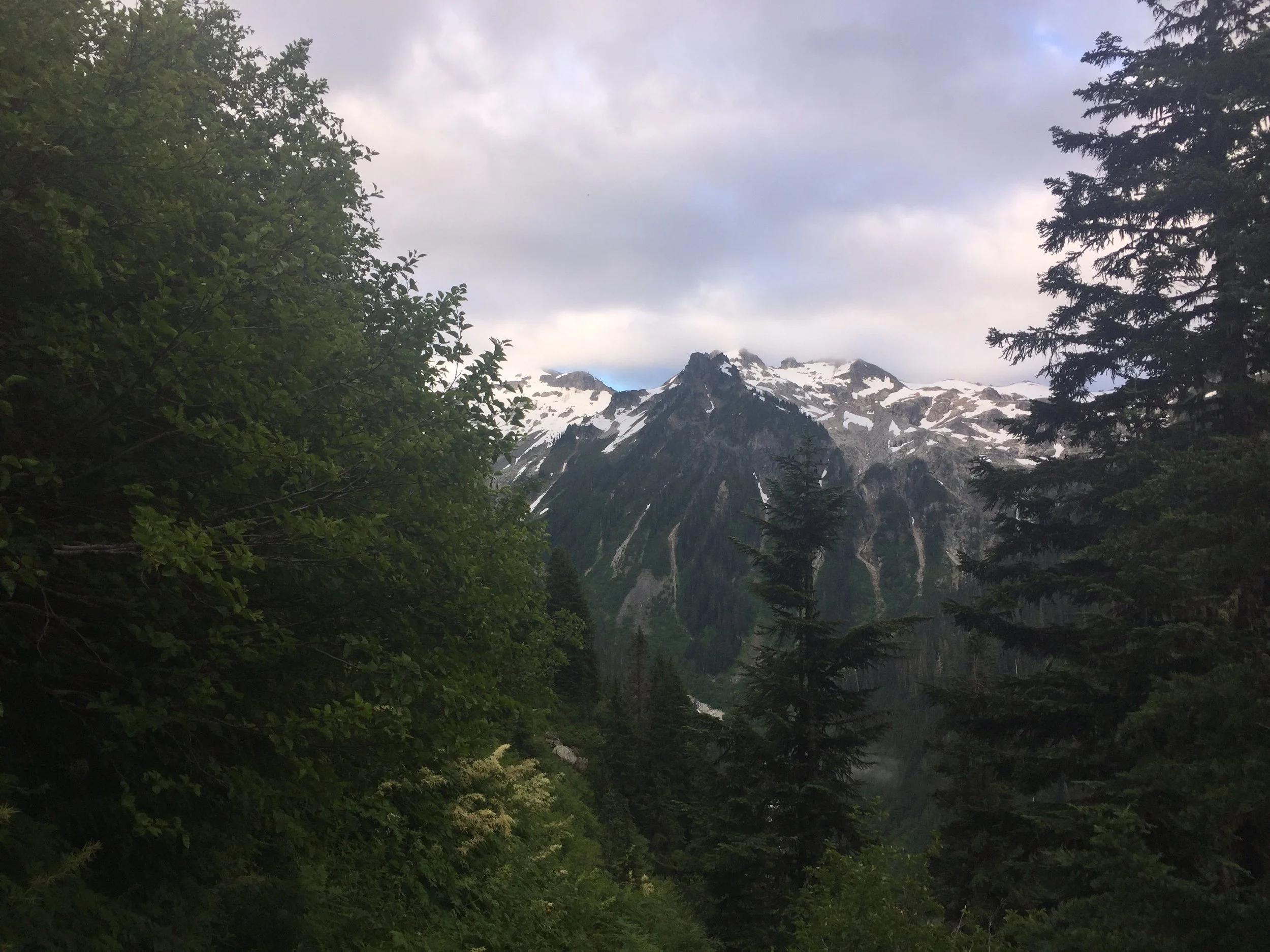
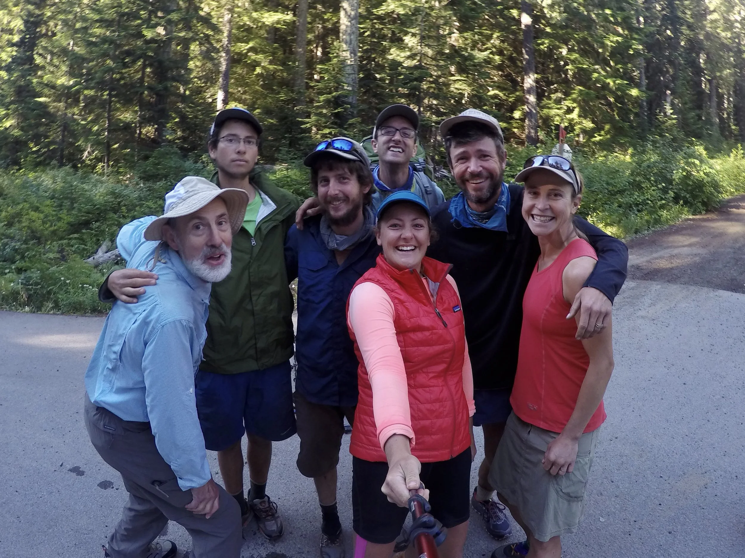
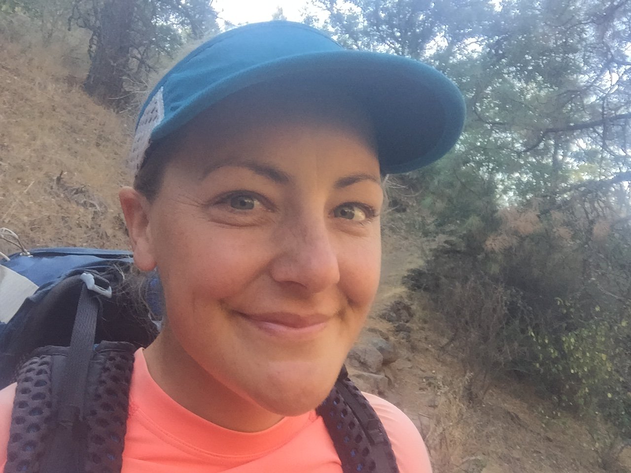
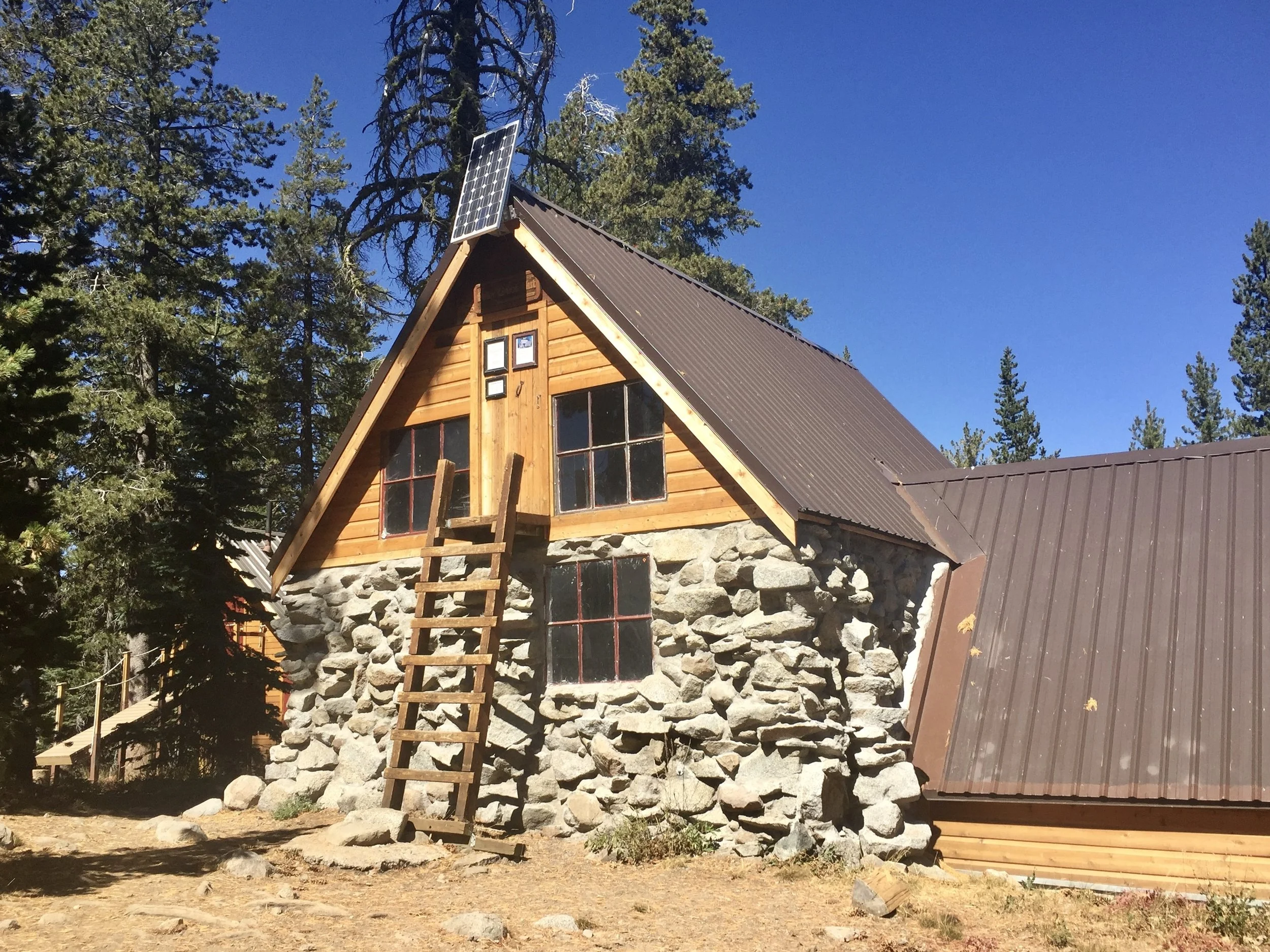
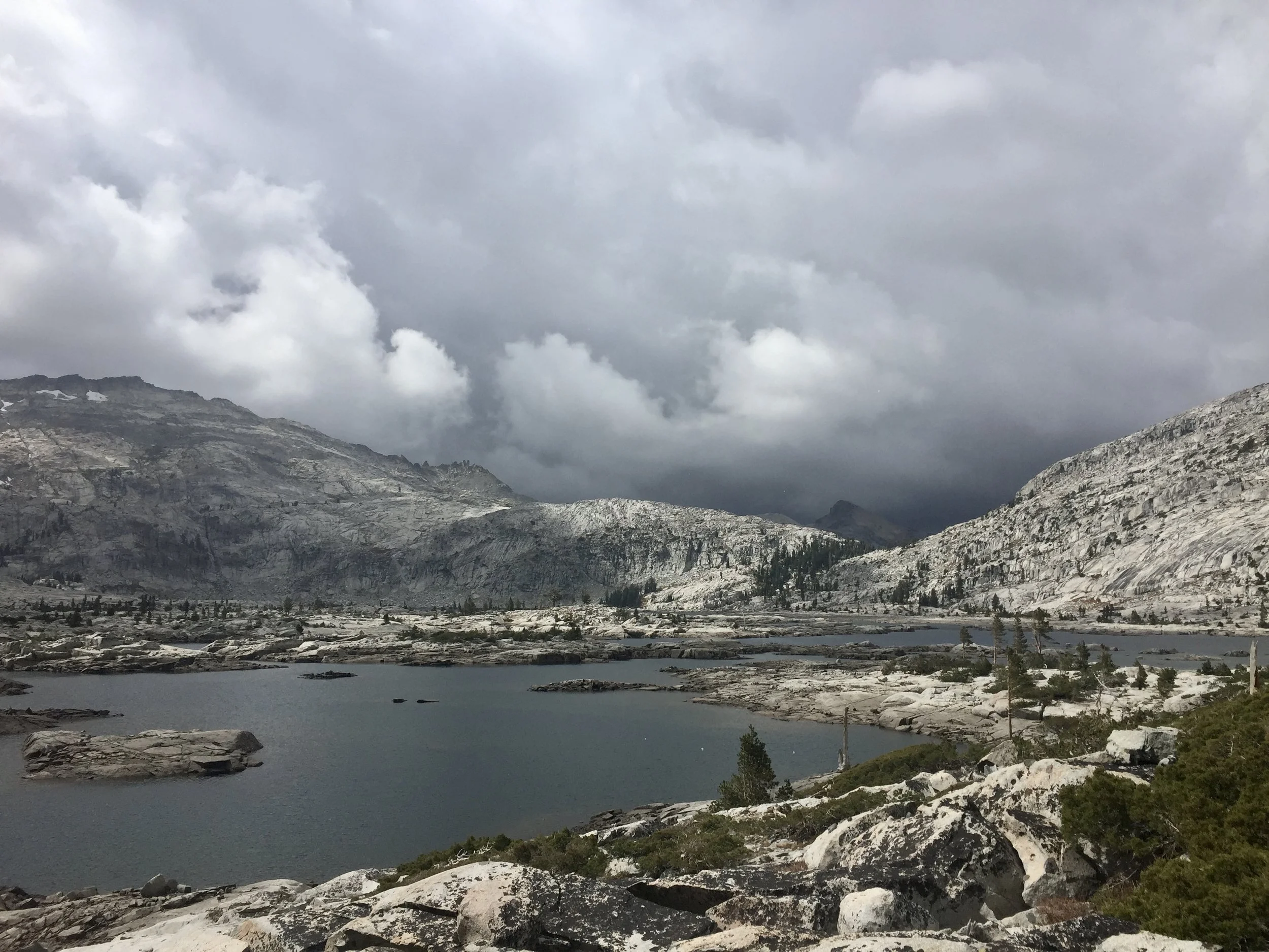
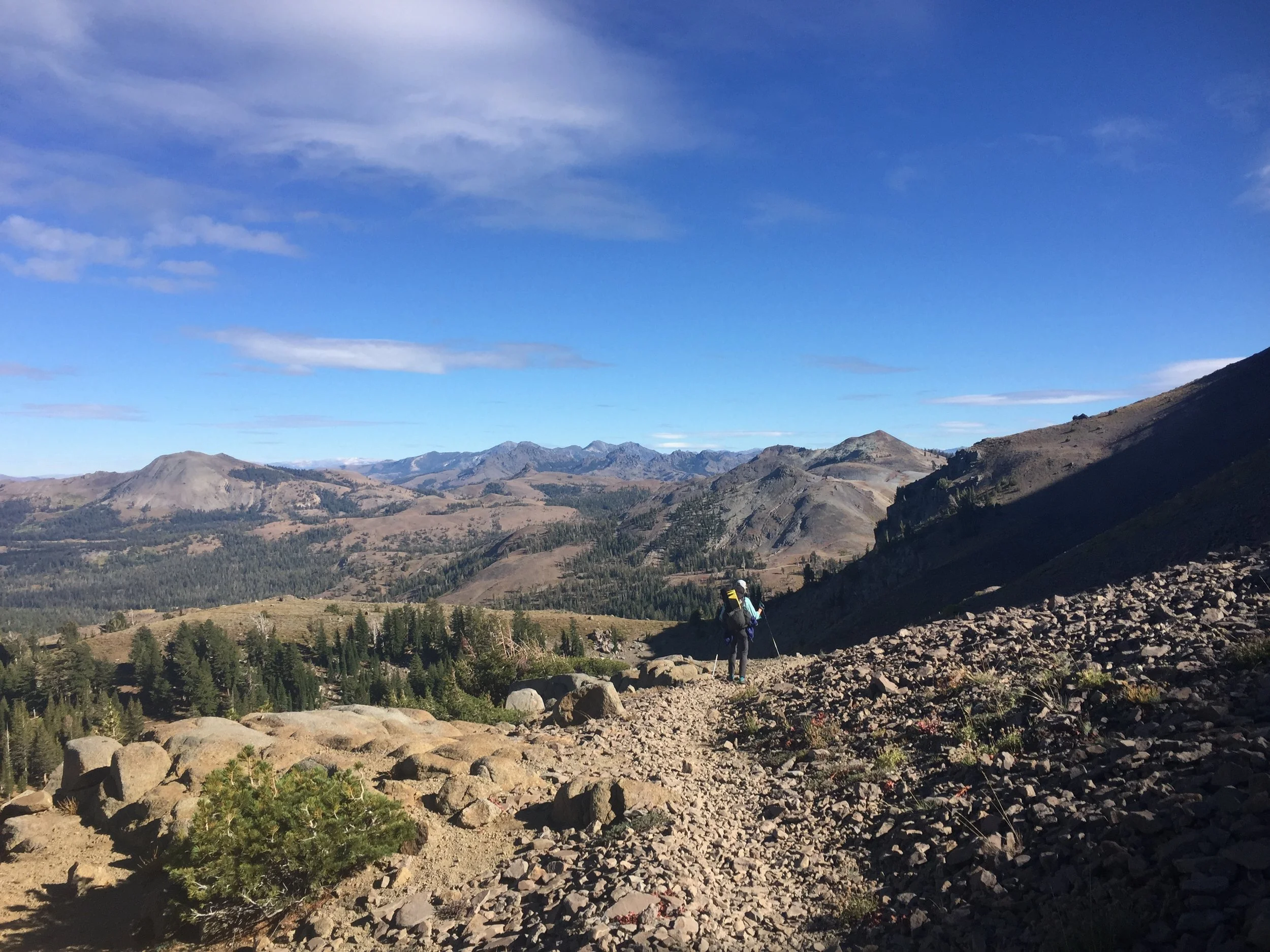
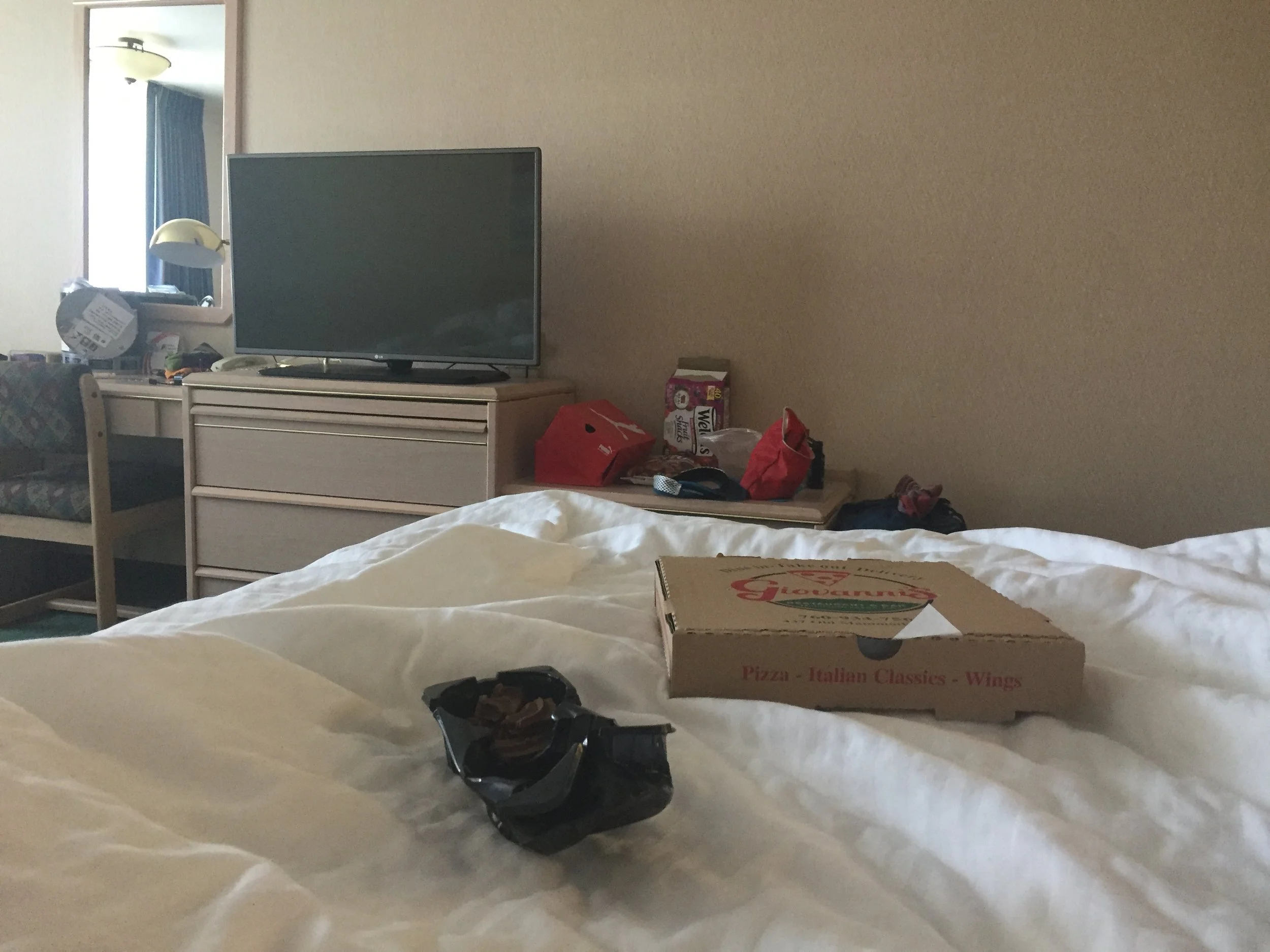
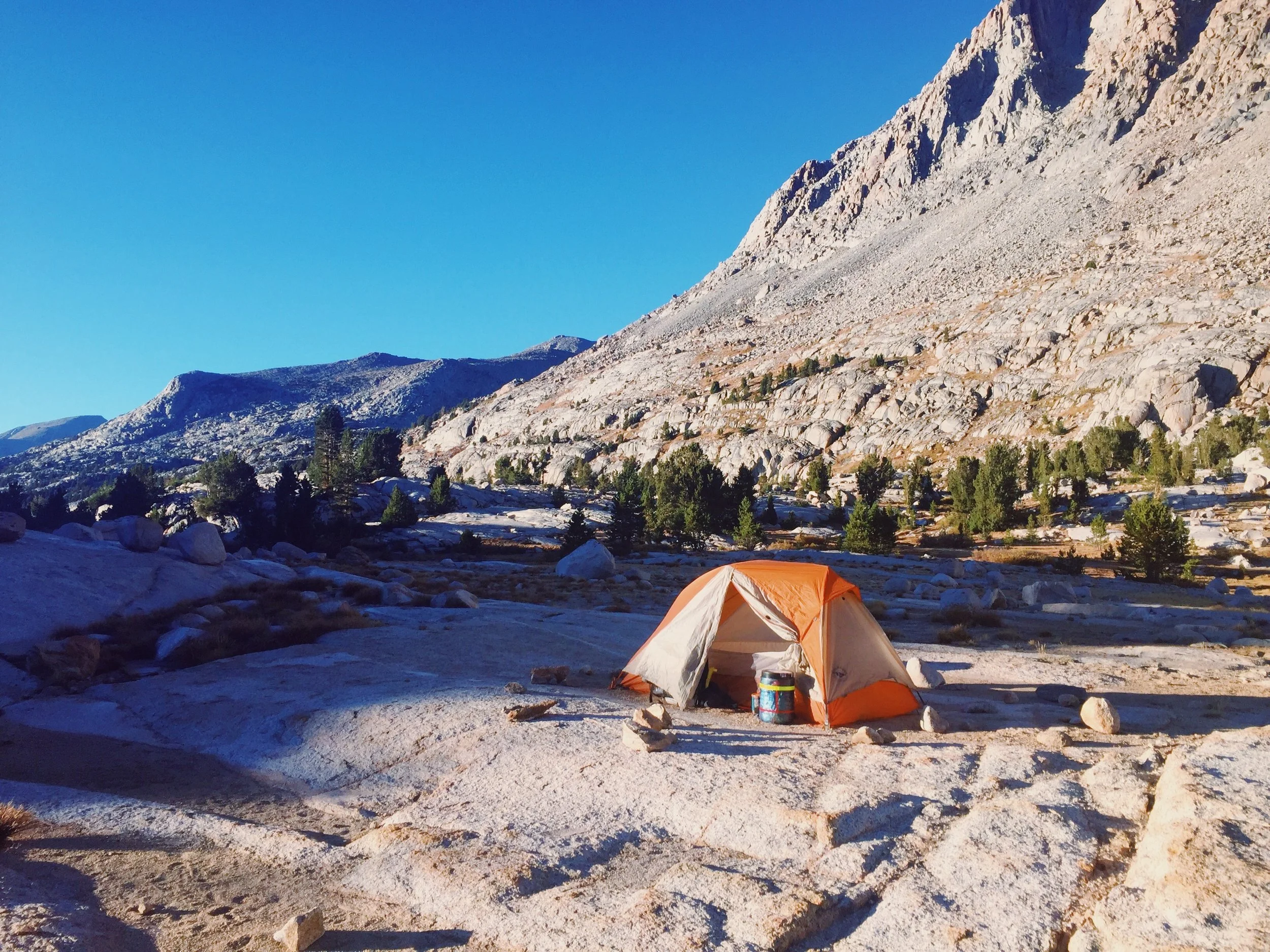
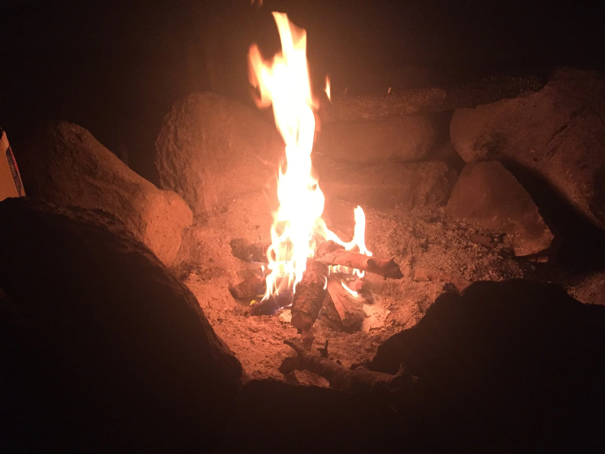
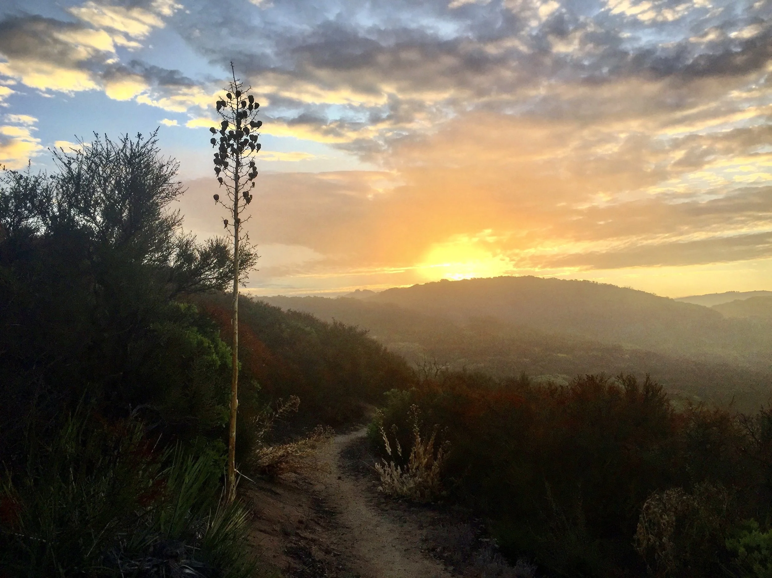
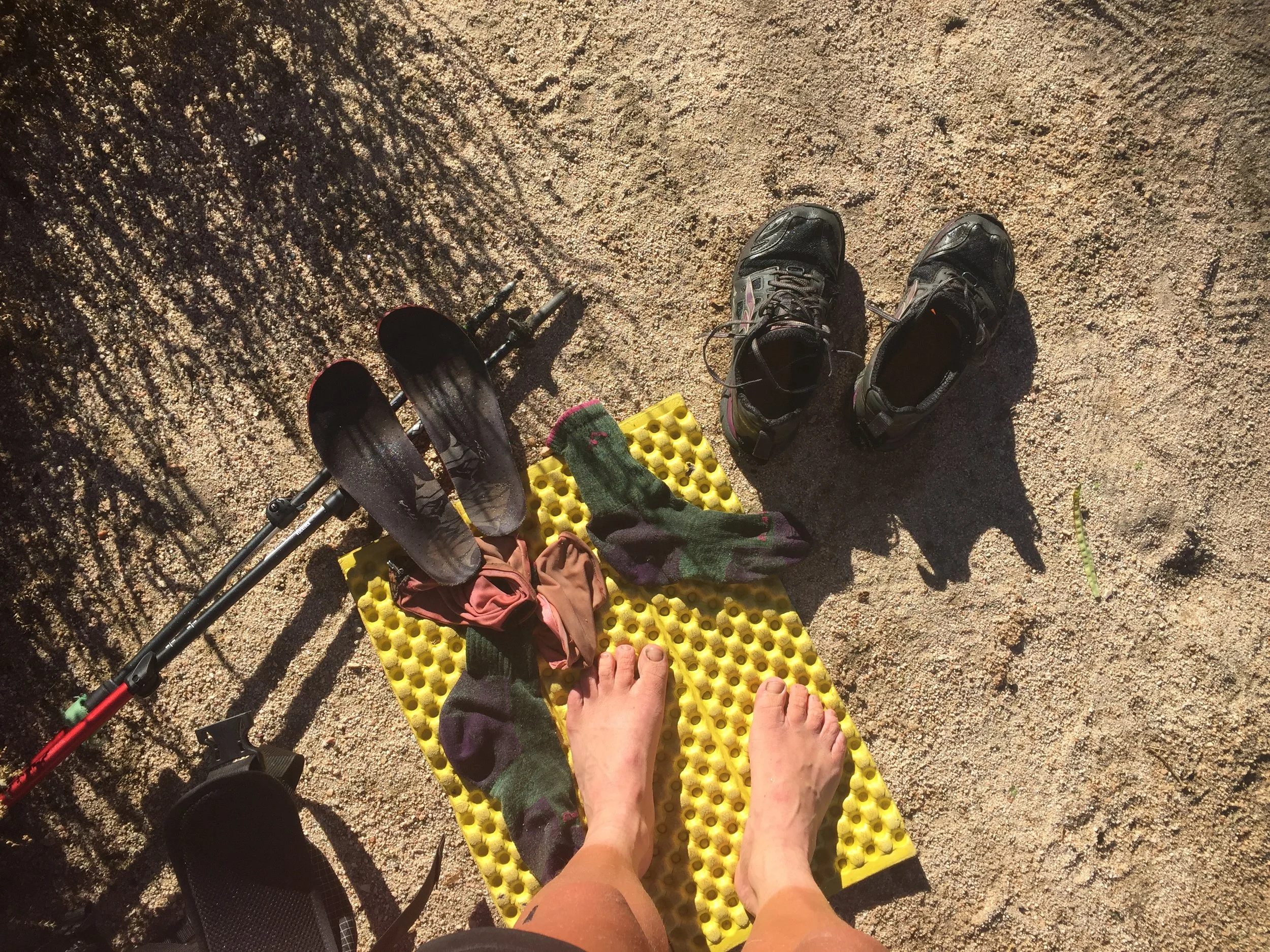
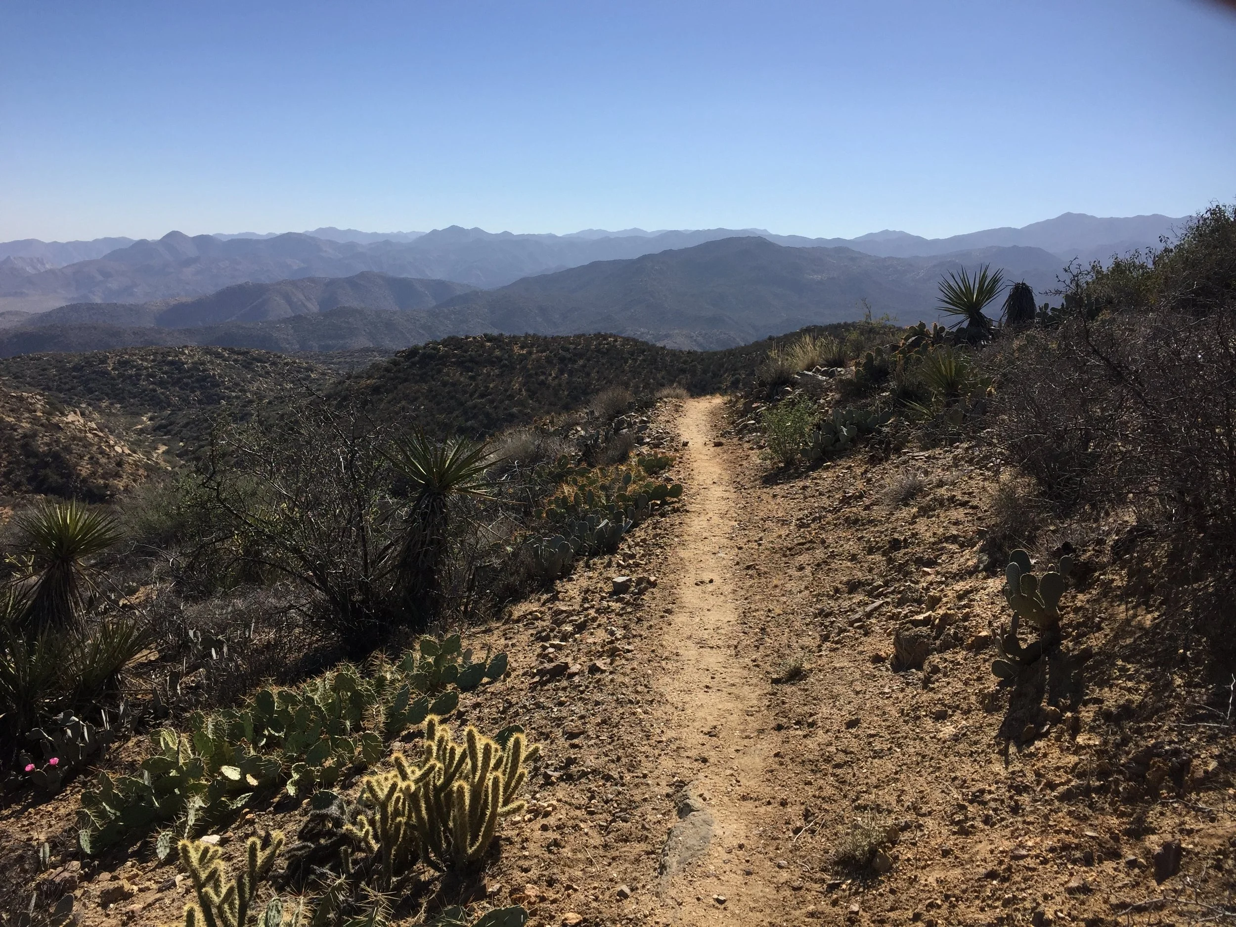
Pacific Crest Trail in pictures
A small but carefully curated selection of some of my favourite images from my southbound hike of the Pacific Crest Trail.


The Pacific Crest Trail in numbers
Location: USA – Washington, Oregon California.
Southern Terminus: Campo, California
Northern Terminus: Washington/Canada border
Distance: 2660 miles, plus extra for side trips to get water, trips into towns and side adventures like climbing Mt Whitney!
Highest Point: Forrester Pass 13,153ft / 4,009m
Lowest point: Cascade Locks 140ft / 43m
Elevation: -483,735 / +482,741 that’s the equivilant of climbing Everest – from sea to summit and back down again – over 16 times!!
Start: 15th July 2016
Finish: 25th November 2016
Total number of days: 134
Hiking days: 121
Zero days: 13
Nero days (under 10 miles): 6
Average miles per day: 18.8 miles
Days over 30 miles: 7
Highest mileage day: 32.9 miles
Longest stretch without a break: 27 days
Nights in paid accommodation: 29
Solo camp: 7
Nights in my tent: 97
Nights in a bed: 34
Trail magic: 13
Showers: 29
Longest stretch without a shower: 11 days
Resupply: 26
Longest stretch without resupply: 11 days
Real food: 66
Laundry: 20
Days with rain: 21
Hitches: 28
Cried: 8
Total spent of trail: $2,910.86 (not an accurate representation of trail costs because Catwater paid for all the accommodation).
Pacific Crest Trail in words
After keeping a blog of my first PCT hike going north, I continued to write about my southbound hike. Click on the links below to read about that day.

Pre-trail pampering / reunion tour

PCT SOBO day 1 – Going north

PCT SOBO day 2 – The pacific north wet

PCT SOBO day 3 – To Canada and back

PCT SOBO day 4 – Puff Puff and the Nearly Dead

PCT SOBO day 5 – Back to the start!
PCT SOBO day 6 – Blow by blow

PCT SOBO day 7 – It's all downhill (with a bit of up)

PCT SOBO day 8 – Infamy

PCT SOBO day 9 – Stehekin

PCT SOBO day 10 – 'Alone' in the woods

PCT SOBO day 11 – Too much up
PCT SOBO day 12 – Friendly faces

PCT SOBO day 13 – I hope you find what you're looking for

PCT SOBO day 14 – A people day

PCT SOBO day 15 – Alpine Lakes Wilderness

PCT SOBO day 16 – Avocados are great

PCT SOBO day 17 – Fallen trees and loose rocks

PCT SOBO day 18 – Snoqualmie

PCT SOBO day 19 – Mountains and molehills

PCT SOBO day 20 – Back in the game

PCT SOBO day 21 – Friends!!

PCT SOBO day 22 – Foot tambourine

PCT SOBO day 23 – Packwood

PCT SOBO day 24 – Leaving Packwood

PCT SOBO day 25 – The knife edge

PCT SOBO day 26 – This is Washington

PCT SOBO day 27 – Trout lake
PCT SOBO day 28 – Return of the flies

PCT SOBO day 29 – Hotter than hot

PCT SOBO day 30 – 30 miler

PCT SOBO day 31 – Cascade Locks

PCT SOBO day 32 – Not happy

PCT SOBO day 33 – A tough start but a great finish

PCT SOBO day 34 – Trees

PCT SOBO day 35 – Oregon is not flat

PCT SOBO day 36 – The pressure is on

PCT SOBO day 37 – Almost vortexed

PCT SOBO day 38 – 30 miles and still time for a burger

PCT SOBO day 39 – The Herd

PCT SOBO DAY 40 – Disappointment at shelter cove

PCT SOBO day 41 – A sense of calm

PCT SOBO day 42 – Enough of the dust already

PCT SOBO day 43 – Crater Lake

PCT SOBO day 44 – A long slog

PCT SOBO day 45 – magical south brown mountain shelter

PCT SOBO day 46 – Distractions

PCT SOBO day 47 – The end of Oregon

PCT SOBO day 48 – Hello California

PCT SOBO day 49 – NorCal is underrated

PCT SOBO day 50 – Everyone loves a poo story

PCT SOBO day 51 – Shasta

PCT SOBO day 52 – The last of the northbounders?

PCT SOBO day 53 – The weather is definitely on the turn

PCT SOBO day 54 – Bear tracking
PCT SOBO day 55 - Its a new dawn, it's a new day

PCT SOBO day 56 – Hat Creek Rim

PCT SOBO day 57 – 9:30am burger time

PCT SOBO day 58 – Hangry hitchhiking

PCT SOBO day 59 – Chester

PCT SOBO day 60 – All hail the halfway point

PCT SOBO day 61 – Belden

PCT SOBO day 62 – An emotional blip

PCT SOBO day 63 – A taste sensation

PCT SOBO day 64 – What's the point of a wasp anyway?

PCT SOBO day 65 – Sierra City

PCT SOBO day 66 – It's all golden
PCT SOBO day 67 – A short day

PCT SOBO day 68 – Granite Chief wilderness

PCT SOBO day 69 – Too windy
PCT SOBO day 70 – Too cold
PCT SOBO day 71 – No, I'm not Australian

PCT SOBO day 72 – Deer hunter

PCT SOBO day 73 – The fanciest of pants

PCT SOBO day 74 – A new day

PCT SOBO day 75 – A broken tent

PCT SOBO day 76 – We are definitely in the Sierra now

PCT SOBO day 77 – A push to Tuolumne Meadows

PCT SOBO day 78 – Mammoth Lakes
PCT SOBO day 79 – A day off

PCT SOBO day 80 – I feel like I'm on holiday!

PCT SOBO day 81 – Type 2 fun

PCT SOBO day 82 – Mr blue sky

PCT SOBO day 83 – Frozen

PCT SOBO day 84 – Silver Pass

PCT SOBO day 85 – Selden Pass
PCT SOBO day 86 – Why don't more people hike the Sierra in October?

PCT SOBO day 87 – Muir Pass

PCT SOBO day 88 – Mather and Pinchot Passes

PCT SOBO day 89 – Glen Pass, Kearsarge Pass and Independence

PCT SOBO day 90 – Independence

PCT SOBO day 91 – Ups and downs

PCT SOBO day 92 – A blustery day

PCT SOBO day 93 – 3:30am solo summit of Mt Whitney

PCT SOBO day 94 – Windy cold thirsty tired hungry sandy

PCT SOBO day 95 – A change of scene
PCT SOBO day 96 – Kennedy Meadows

PCT SOBO day 97 – Unexpected faces

PCT SOBO day 98 – The last 700 miles

PCT SOBO day 99 – Bears!

PCT SOBO day 100 – Lake Isabella

PCT SOBO day 101 – Time is a healer

PCT SOBO day 102 – Miles of desert

PCT SOBO day 103 – Miles of wind farms

PCT SOBO day 104 – To Tehachapi

PCT SOBO day 105 – An unplanned zero

PCT SOBO day 106 –The rise of the machines

PCT SOBO day 107 – Not so creepy town

PCT SOBO day 108 – A thoroughly miserable day

PCT SOBO day 109 – What a difference a day makes
PCT SOBO day 110 – Hiker heaven

PCT SOBO day 111 – Fire closure

PCT SOBO day 112 – Mt Williamson

PCT SOBO day 113 – I just want to eat real food

PCT SOBO day 114 – The lure of the Best Westy

PCT SOBO day 115 – Too much civilisation
PCT SOBO day 116 – Disgusting deep creek

PCT SOBO day 117 – Today was a bit boring

PCT SOBO day 118 – Food

PCT SOBO day 119 When everything went wrong

PCT SOBO day 120 – Not how I wanted to see a bear

PCT SOBO day 121 – Descent to Mission Creek

PCT SOBO day 122 – The desert is too hot

PCT SOBO day 123 – Happy birthday Catwater

PCT SOBO day 124 – A wrong turn

PCT SOBO day 125 – Idyllwild
PCT SOBO day 126 – Winter is coming

PCT SOBO day 127 – 5000 miles

PCT SOBO day 128 – Moove cows

PCT SOBO day 129 – Julian

PCT SOBO day 130 – Wash out

PCT SOBO day 131 – Tension

PCT SOBO day 132 – Sing it loud

PCT SOBO day 133 – Devil winds

PCT SOBO day 134 – She believed she could so she did. Twice.