2016 | Long distance hiking | New Zealand
Te Araroa
‘The long path’
1864
Miles
270,256ft
Elevation gain
6,315ft
Highest point
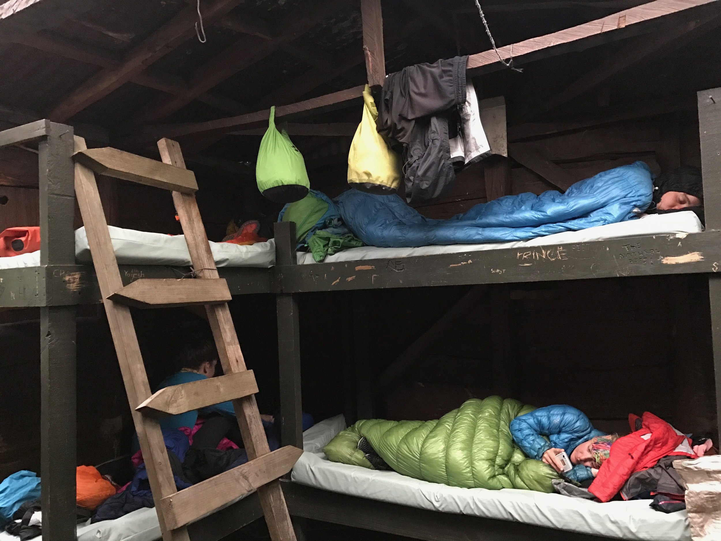
70
Nights in my tent
130
Total days

THE BEGINNING
3rd December 2017. Cape Reinga. The northern terminus of Te Araroa

THE END
11th April 2017. Bluff. The southern terminus of Te Araroa
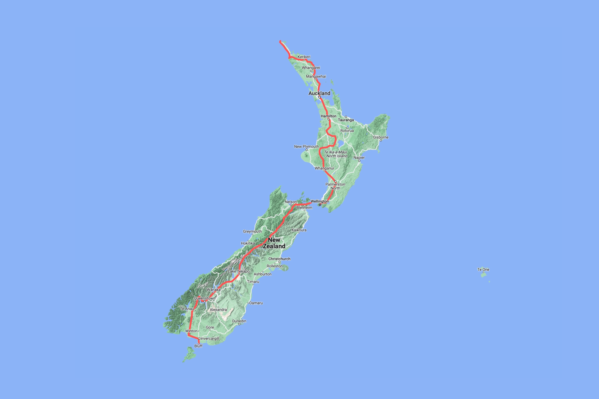
What is Te Araroa?
Officially opened in 2011, this is a much younger trail than it’s well established American cousins – the Pacific Crest Trail and the Appalachian Trail; it’s almost like the lovechild of the two trails.
The two islands offer a varied experience; the North Island is full of culture, beaches and people, whereas the South Island is packed with epic vistas, mountain ranges and sheep.
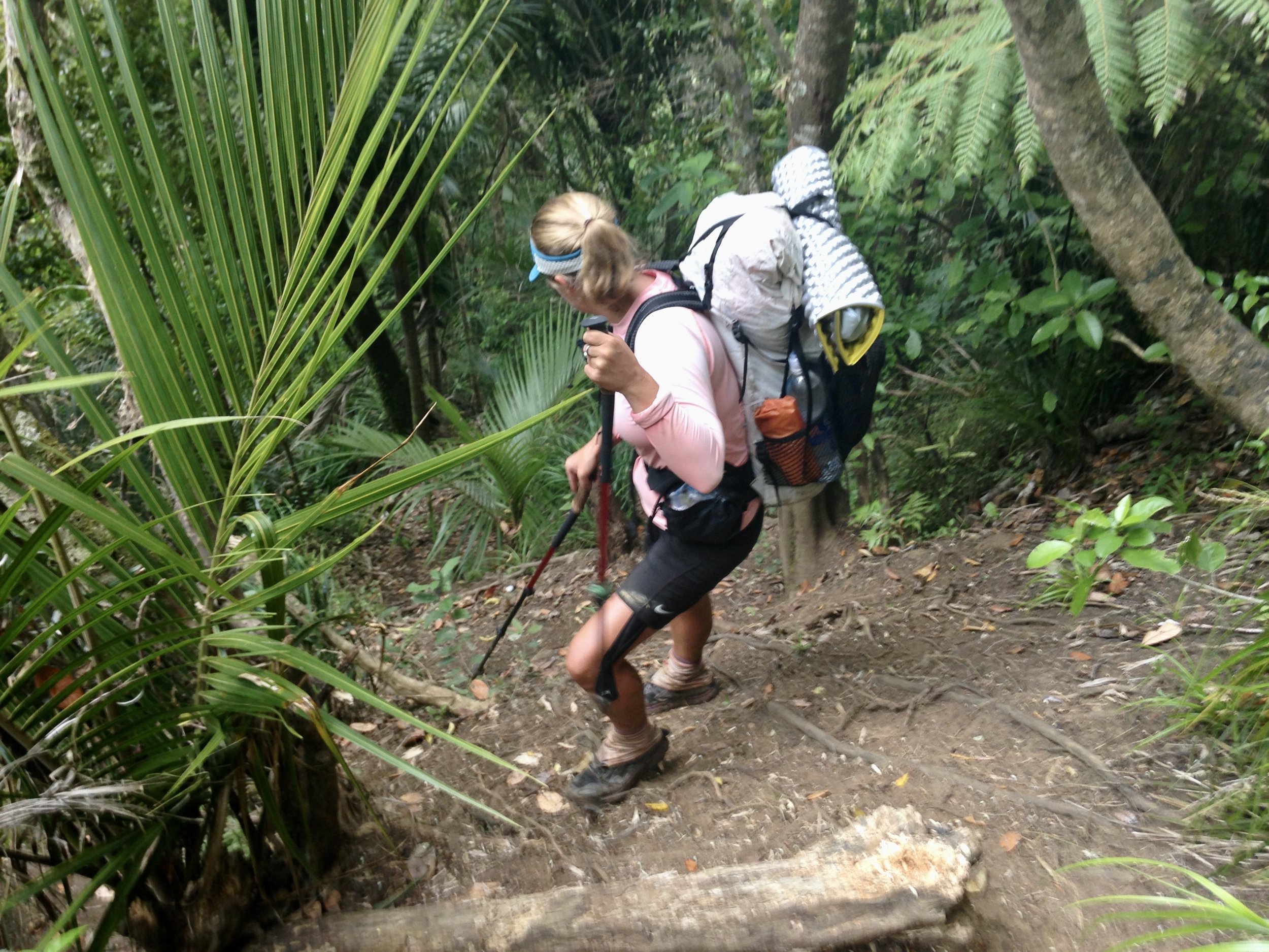
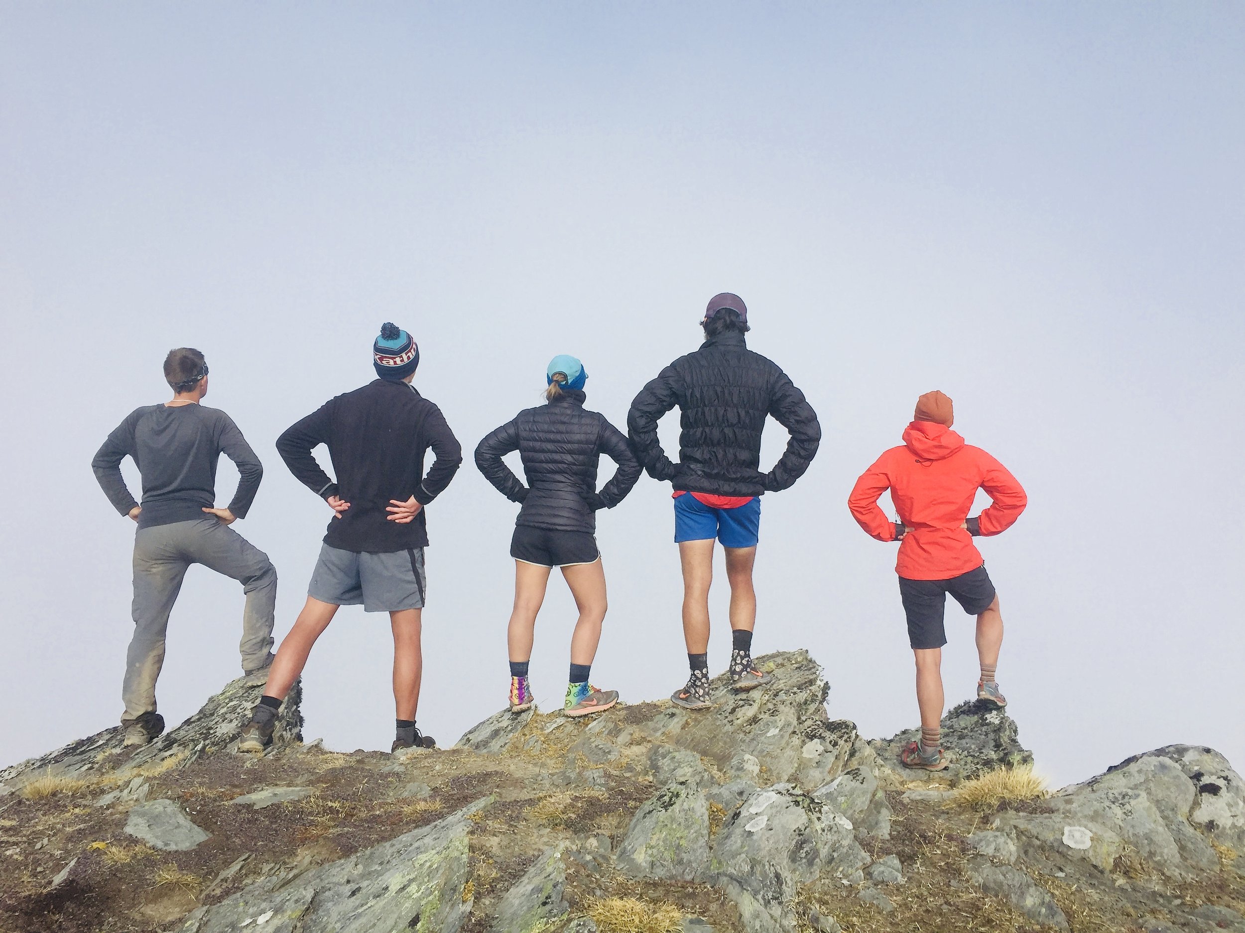
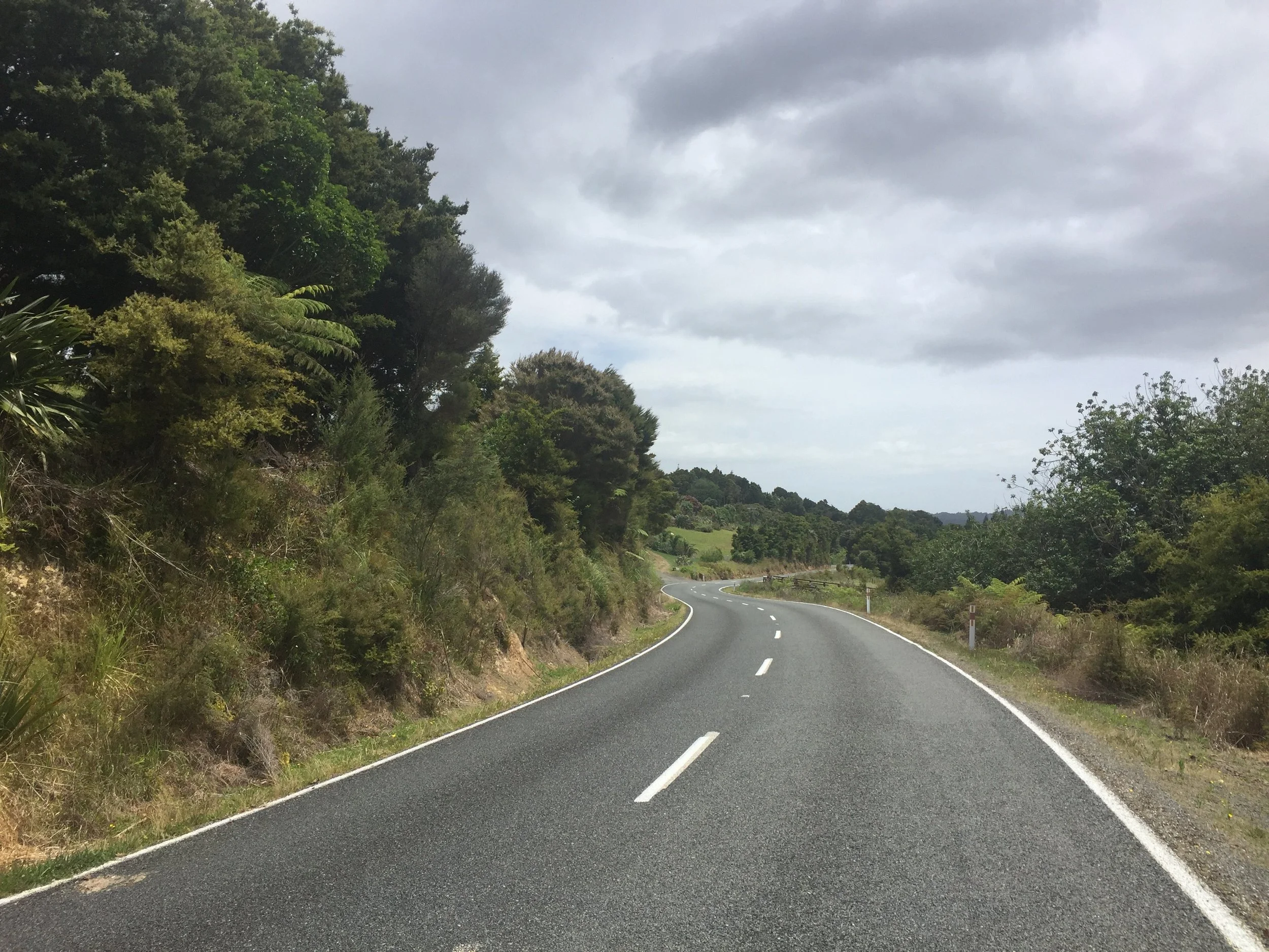
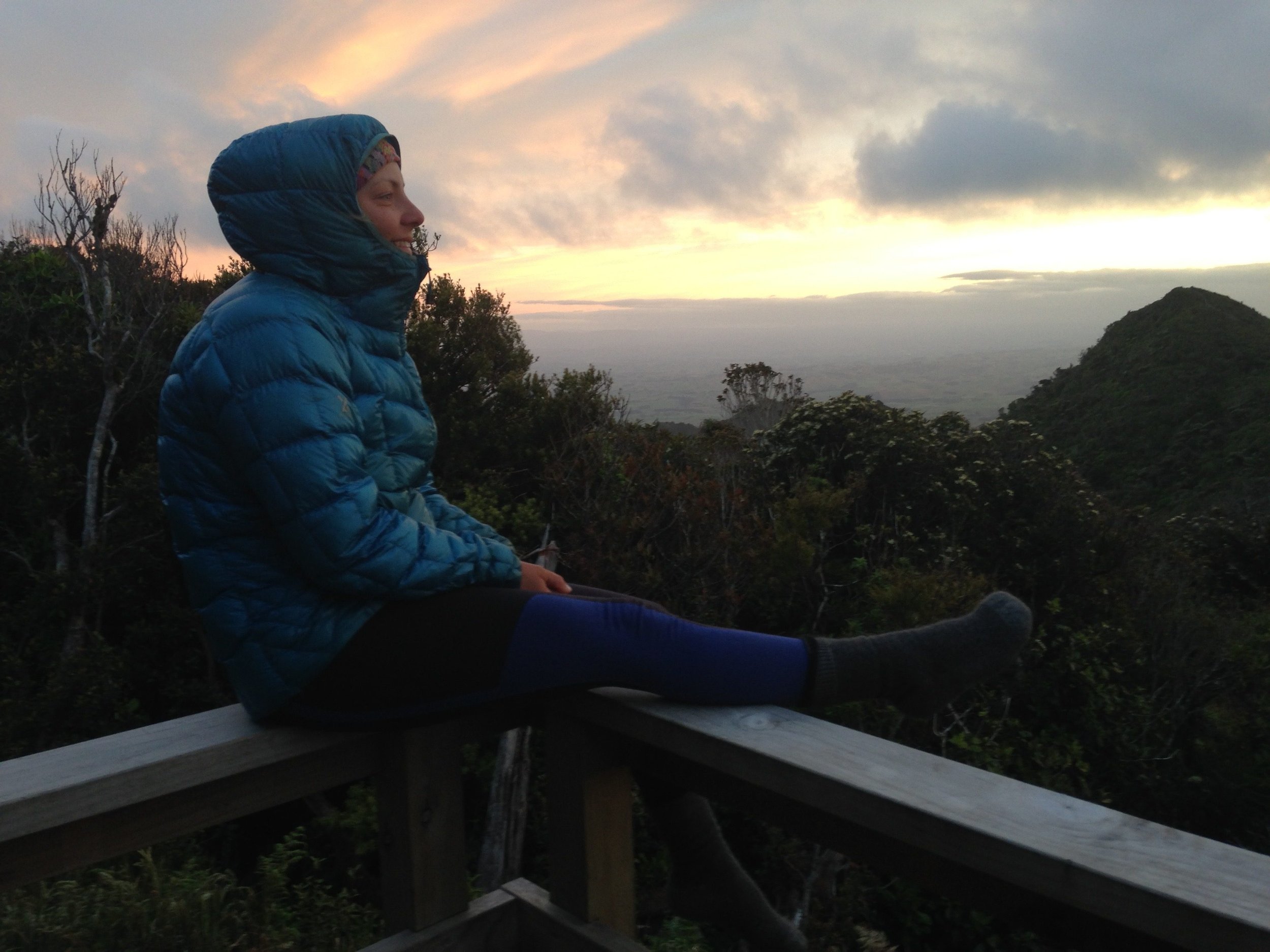
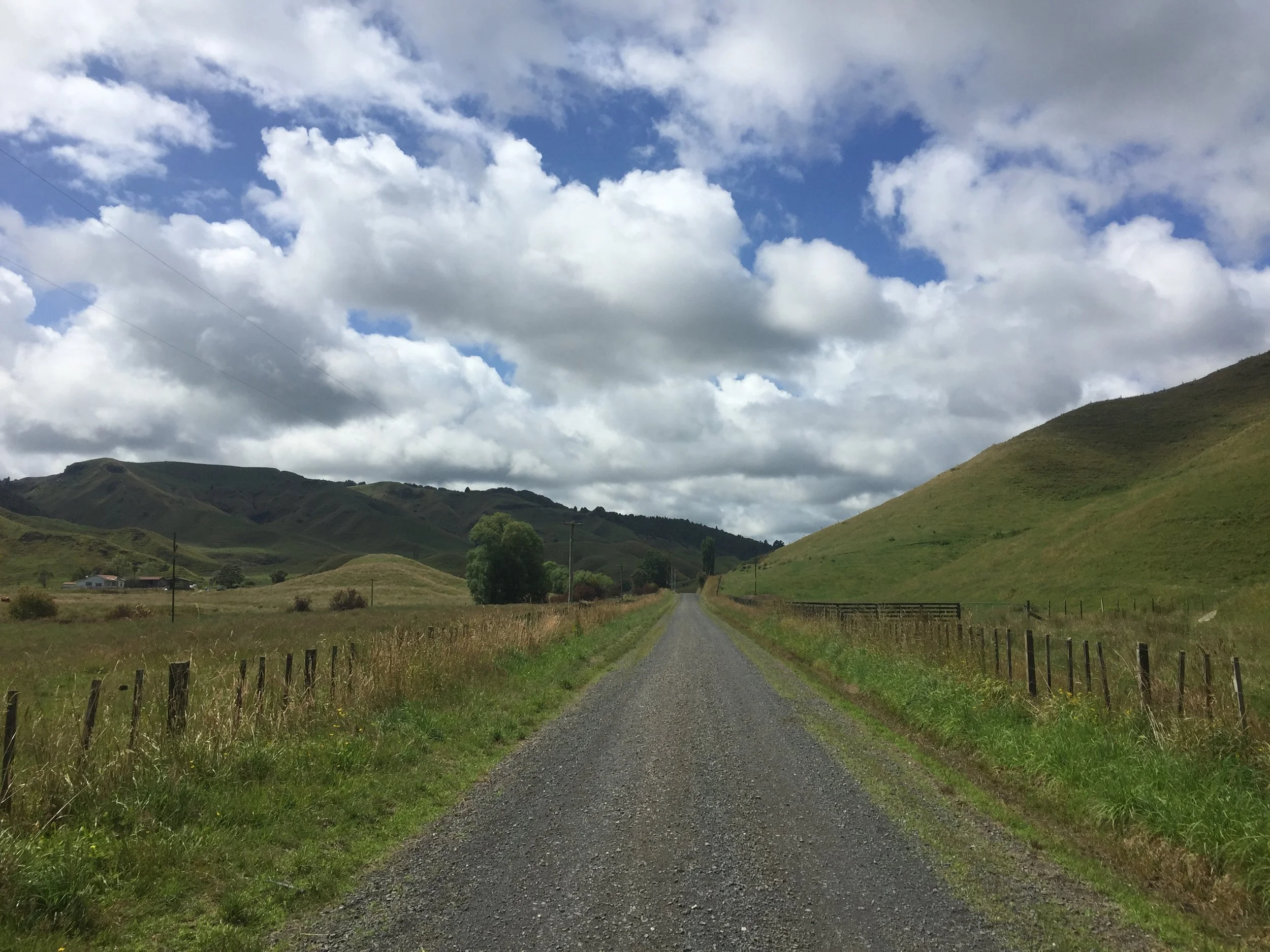
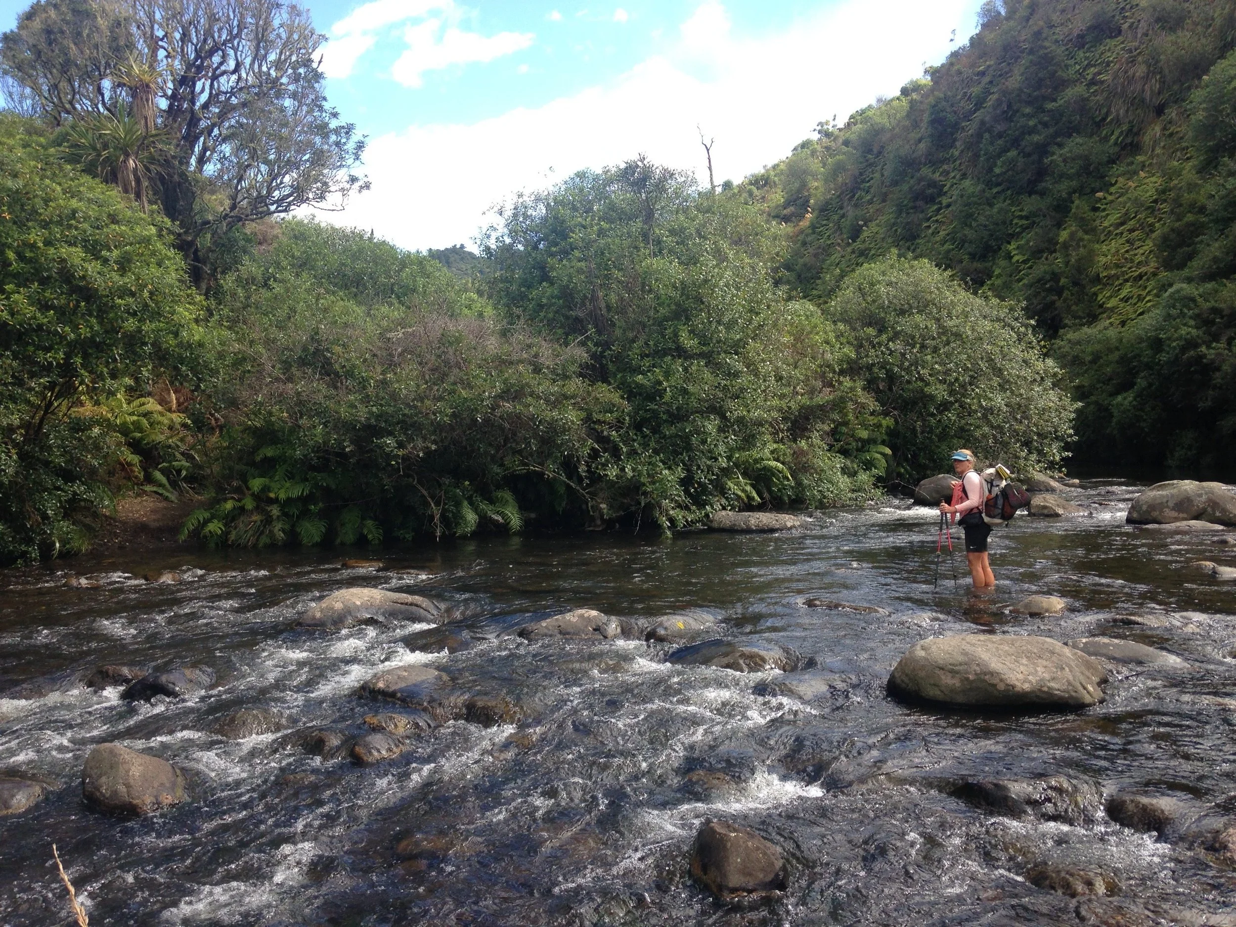
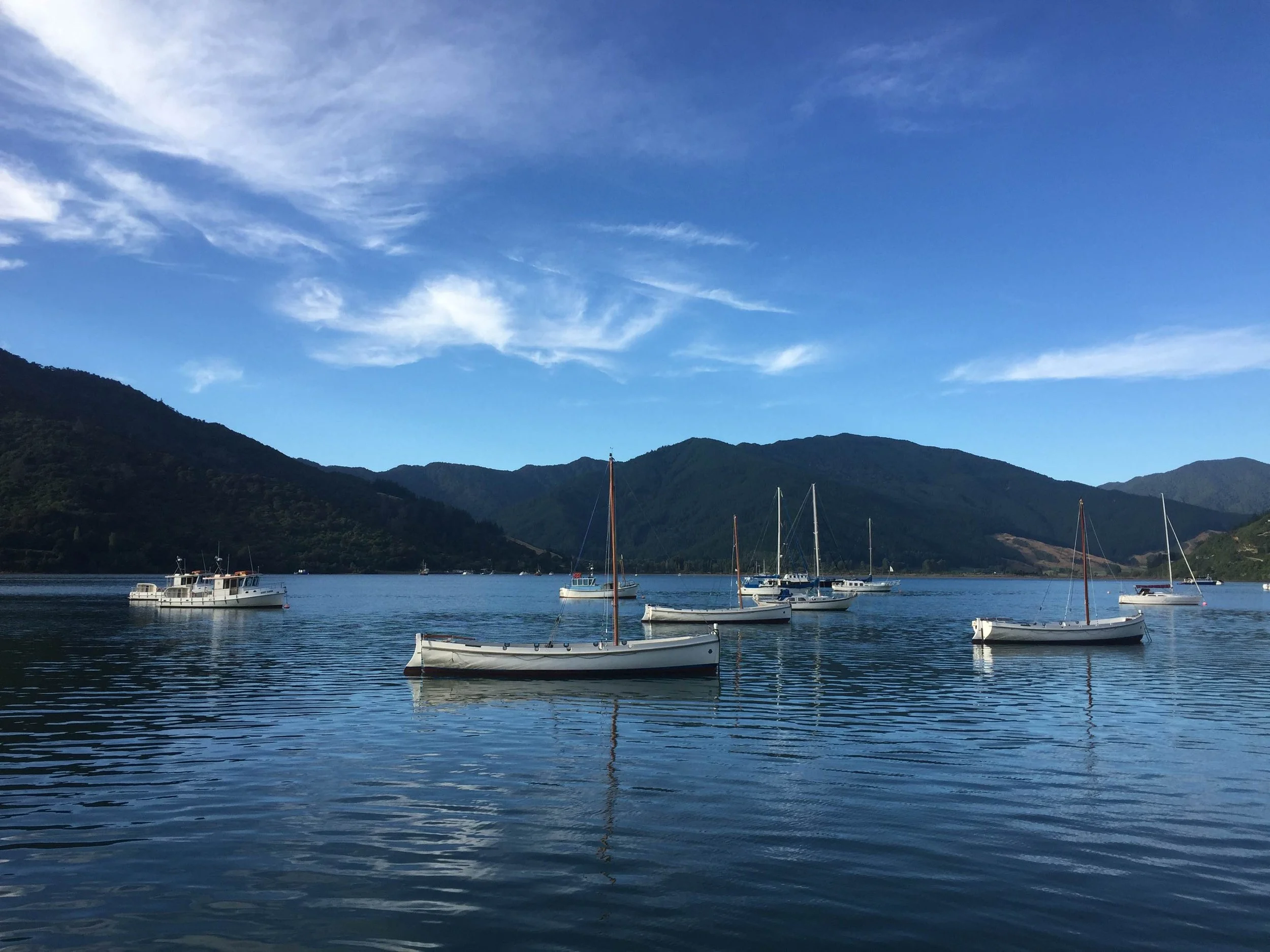
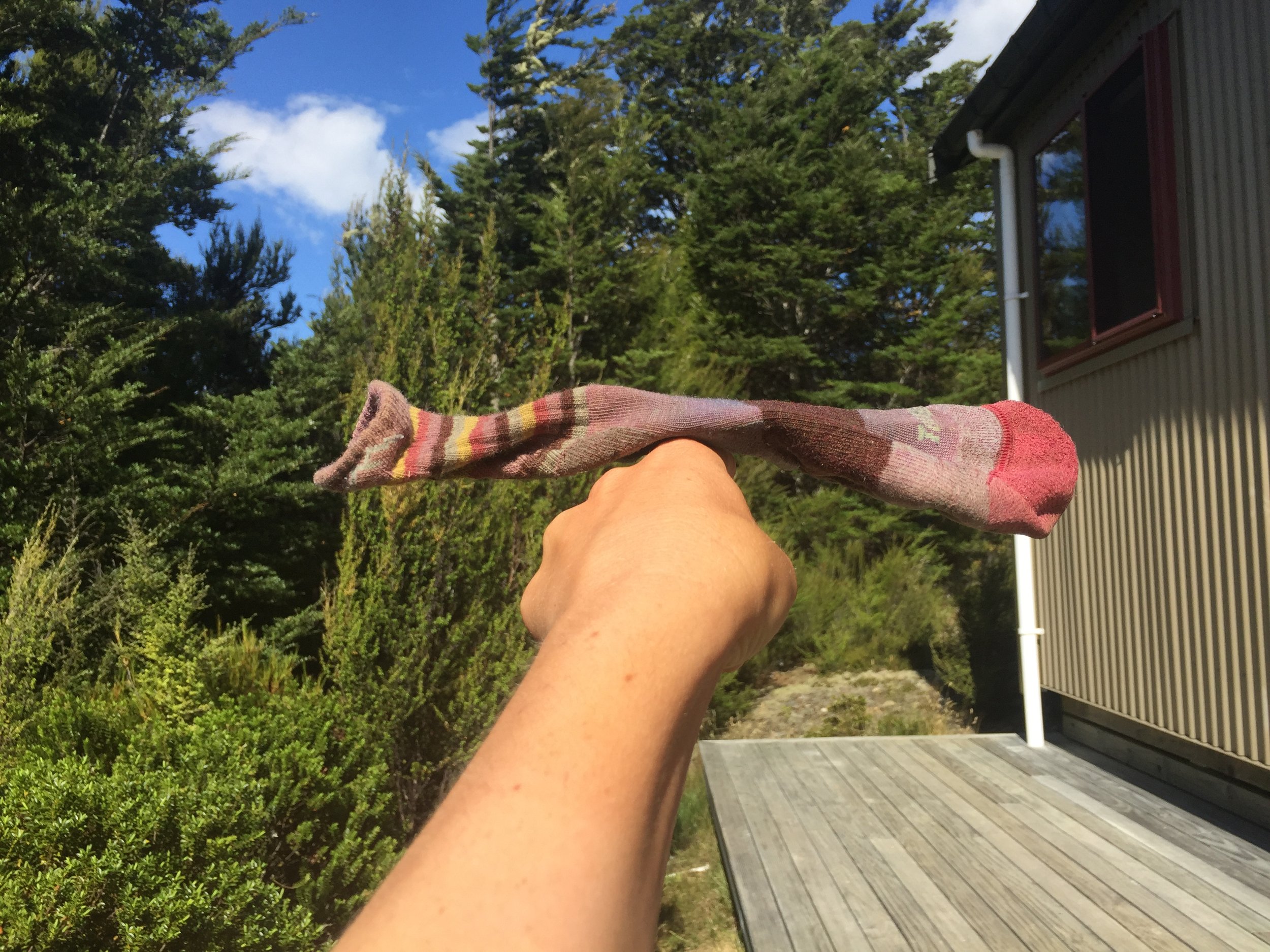
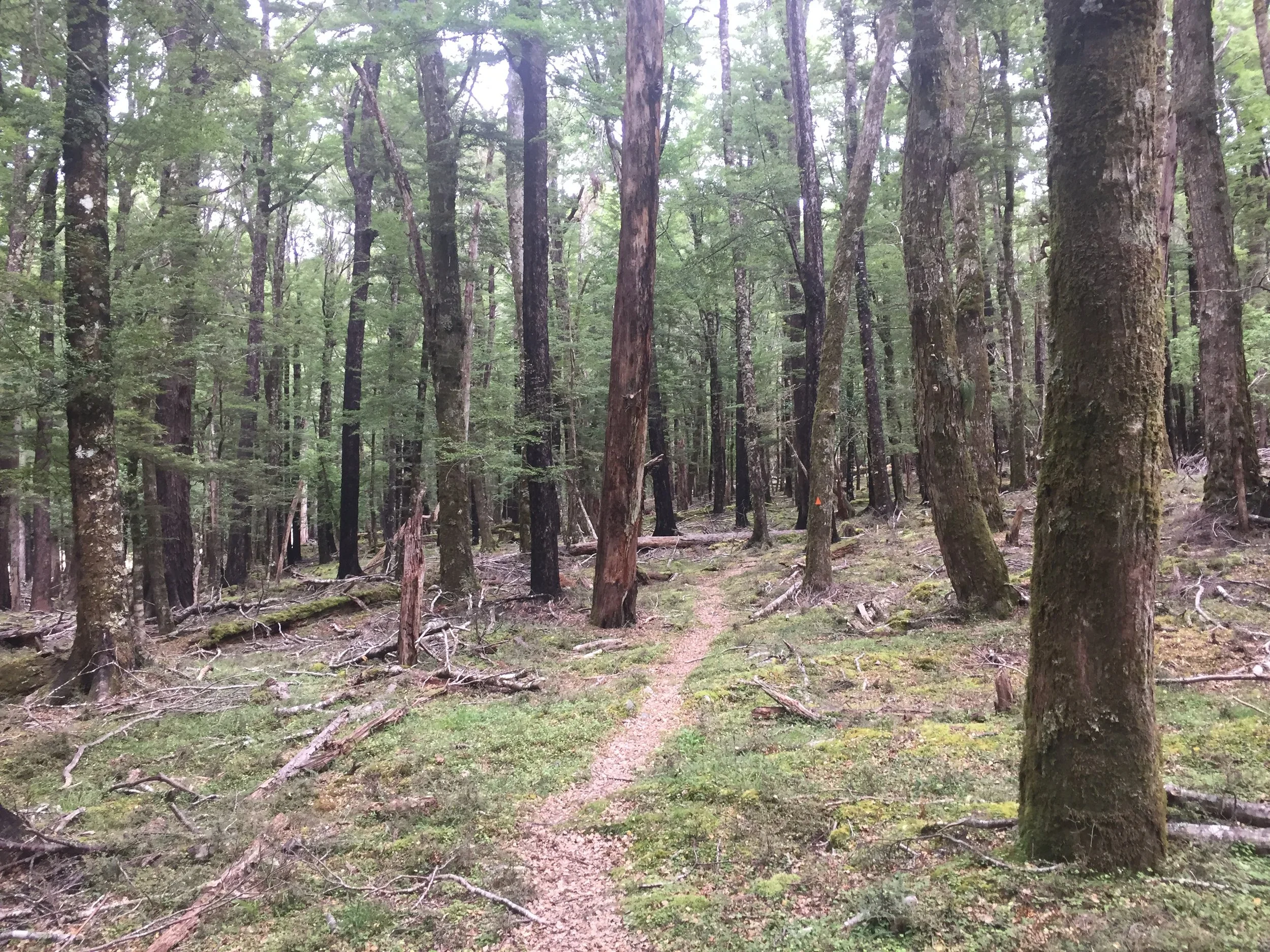
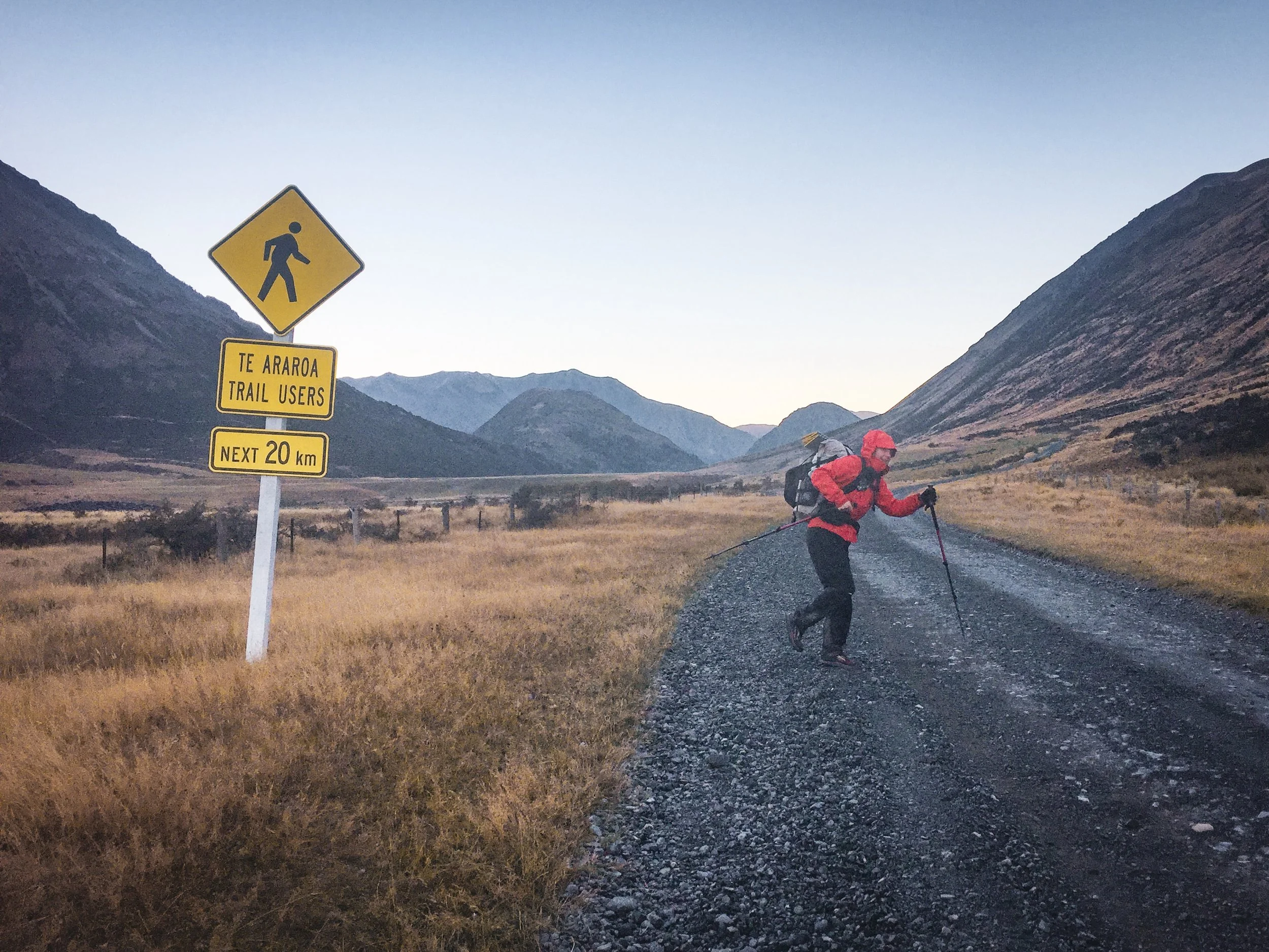
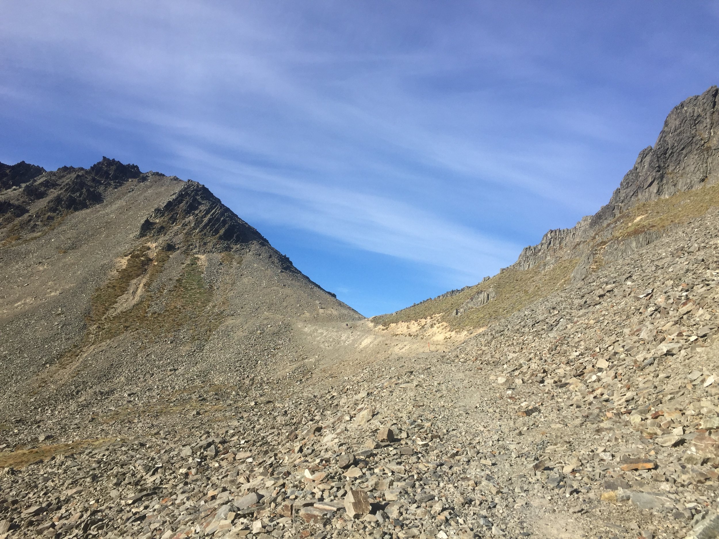
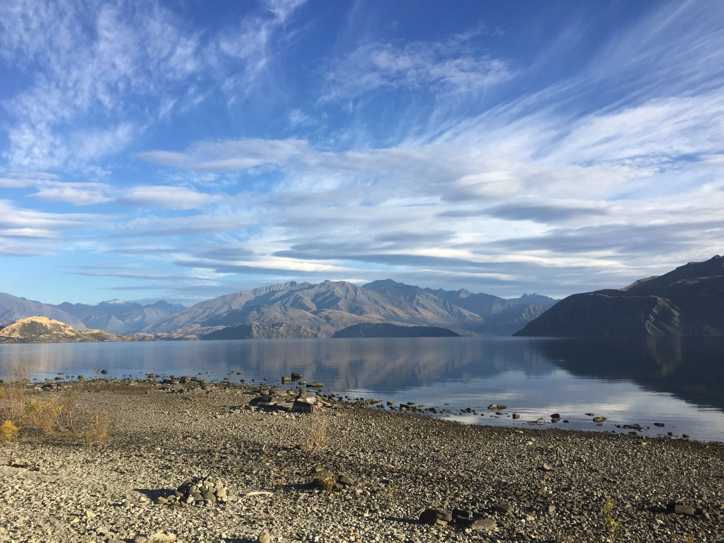
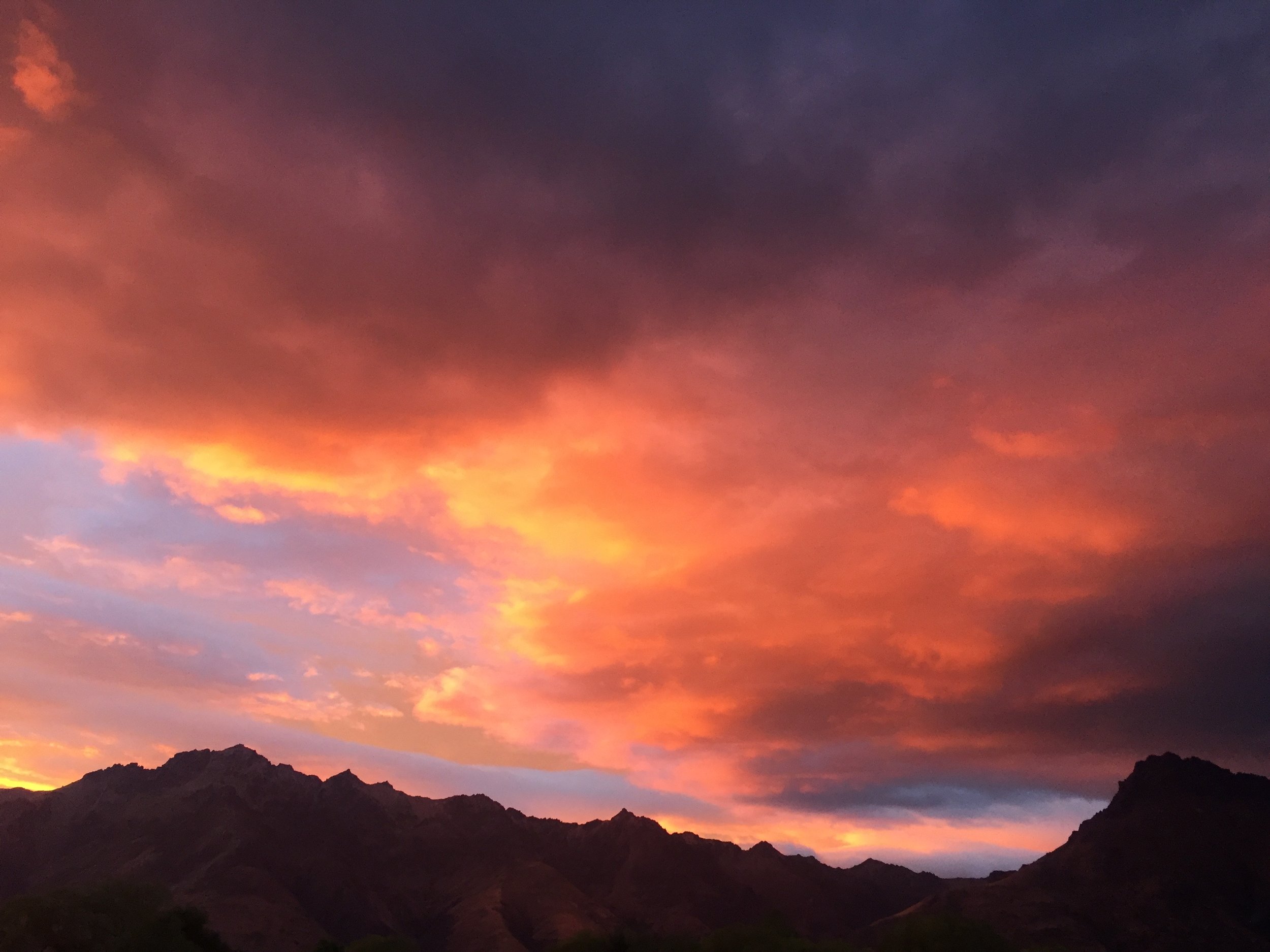
Te Araroa in pictures
A small but carefully curated selection of images from my hike on Te Araroa in 2016 / 2017


Te Araroa in numbers
Location: New Zealand
Southern Terminus: Bluff, South Island
Northern Terminus: Cape Reinga, North Island
Distance: 1,864 miles
Highest Point: Stag Saddle 1,925m / 6,315ft
Lowest point: You spend a few times walking in the sea so the low point is probably below sea level!
Elevation: +270,256ft / -271,925ft
Duration: It took me 130 days (~4.5 months)
Start: 13th 2015
Finish: September 7th 2015
Total number of days: 130
Hiking days: 118
Zero days: 12
Nero days (under 10 miles): 16
Average miles per day: 15.8
Days over 30 miles: 1
Highest mileage day: 33
Nights in paid accommodation (including campsites): 66
Nights in my tent: 70
Nights in huts: 23
Trail Angels: 35
Trail magic: 31
Showers: 38
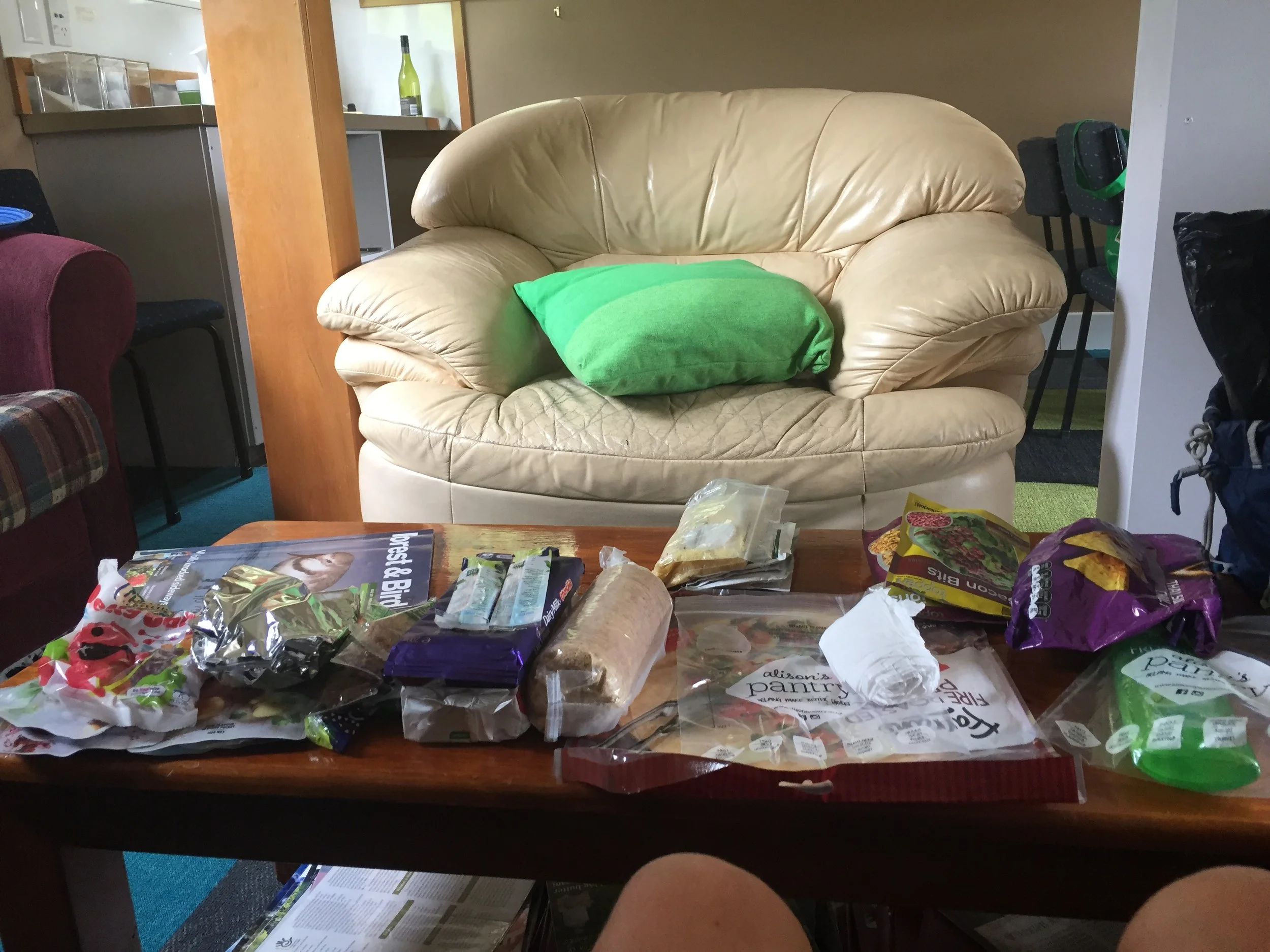
Resupply: 32
Real food: 77
Laundry: 19
Hitches with strangers: 31
Hitches with known people: 21
Cried: 5
Total spent on trail: NZ$ 4524.23
Of which spent on food: NZ$ 2591.37
Te Araroa in words
Here you will find a daily blog of my Te Araroa hike. It’s quite the journey!
Just click on the images below to take you to that day…

Te Araroa pre trail – the land of the long white cloud

Te Araroa day 1 – Cape Reinga

Te Araroa day 2 – 90 mile beach

Te Araroa day 3 – Well, today was awesome

Te Araroa day 4 – Finally the end of the beach!
Te Araroa day 5 – Death forest number 1

Te Araroa day 6 – Death forest number 2

Te Araroa day 7 – Mangamuka and road walking

Te Araroa day 8 – Not a great day to be a possum

Te Araroa day 9 – Some pampering at Te Ngaere

Te Araroa day 10 – Paihia

Te Araroa day 11 – Some more road walking

Te Araroa day 12 – Learning the Hakka

Te Araroa day 13 – One of those wonderful trail days
Te Araroa day 14 – Quite a lot of road walking

Te Araroa day 15 – Straight up and straight down

Te Araroa day 16 – Three towns in one day

Te Araroa day 17 – A very varied day

Te Araroa day 18 – A day of two halves

Te Araroa day 19 – Defeated by the deluxe burger

Te Araroa day 20 – Everyday feels like a week

Te Araroa day 21 – Back to Auckland

Te Araroa day 22-25 – A Christmas break

Te Araroa day 26 – A very long 12 miles

Te Araroa day 27 – An amazing end to a tough day

Te Araroa day 28 – It's a magic kinda day

Te Araroa day 29 – So long 2016

Te Araroa day 30 – Mercer is not a town

Te Araroa day 31 – Eating our way through New Zealand

Te Araroa day 32 – What's happened to summer?

Te Araroa day 33 – My name is Alexander Hamilton

Te Araroa day 34 – Making friends with the animals
Te Araroa day 35 – Pirongia mountain

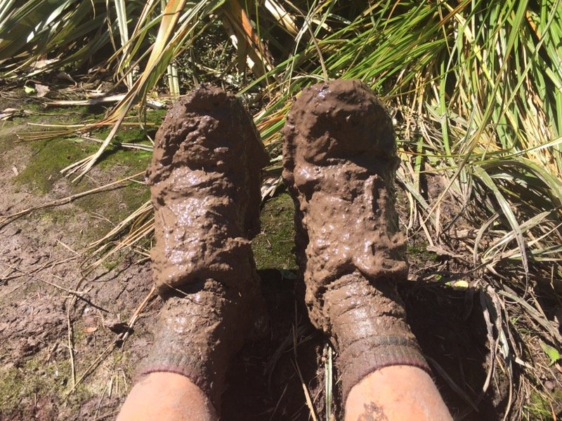
Te Araroa day 36 – Mud, more mud and a one mile an hour pace

Te Araroa day 37 – Waitomo

Te Araroa day 38 – Te Kuti vortex
Te Araroa day 39 – The longest day
Te Araroa day 40 – A nice day

Te Araroa day 41 – New faces

Te Araroa day 42 – All forests are muddy

Te Araroa day 43 – Sam's shop

Te Araroa day 44 – Taumarunui

Te Araroa day 45 – Tongariro northern circuit side trip

Te Araroa day 46 – Tongariro crossing and Mt Doom

Te Araroa day 47 – Our first proper hitch

Te Araroa day 48 – The rain shall pass
Te Araroa day 49 – 42 traverse

Te Araroa day 50 – The lows and highs of hitchhiking

Te Araroa day 51 – The weather bomb

Te Araroa day 52 – Walk-a-bull

Te Araroa day 53 – Creeping to Taumarunui

Te Araroa day 54 – Back in Taumarunui

Te Araroa day 55 – First day in the canoe

Te Araroa day 56 – My hands hurt!

Te Araroa day 57 – Floating down the river

Te Araroa day 58 – Belinda performs well

Te Araroa day 59 – It's all about the floatalita
Te Araroa day 60 – The end of the river

Te Araroa day 61 – A well earned nero

Te Araroa day 62 – Washout

Te Araroa day 63 – We're half way there

Te Araroa day 64 – We found a bubble
Te Araroa day 65 – Tararuas

Te Araroa day 66 – We made it out alive

Te Araroa day 67 – Should we stay or should we go?

Te Araroa day 68 – Get me out of the forest!

Te Araroa day 69 – El Rancho

Te Araroa day 70 – Luxury camping

Te Araroa day 71 – Wellington!

Te Araroa day 72 – A proper zero

Te Araroa day 73 – Goodbye North Island

Te Araroa day 74 – Queen Charlotte track

Te Araroa day 75 – A very pleasant day
Te Araroa day 76 – Havelock

Te Araroa day 77 – It's always raining in New Zealand!

Te Araroa day 78 – Sand flys are the worst

Te Araroa day 79 – Welcome to the Richmond Range

Te Araroa day 80 – Hello summer!

Te Araroa day 81 – Swimming hole

Te Araroa day 82 – What a day!
Te Araroa day 83 – An on trail nero

Te Araroa day 84 – St Arnaud

Te Araroa day 85 – A difficult day

Te Araroa day 86 – Ups and downs

Te Araroa day 87 – Two thirds there

Te Araroa day 88 – Almost flat

Te Araroa day 89 – Hot springs and thermal pools

Te Araroa day 90 – My first earthquake
Te Araroa day 91 – Mostly forest

Te Araroa day 92 – A pretty shitty day

Te Araroa day 93 – Reckless abandon
Te Araroa day 94 – The power of rest

Te Araroa day 95 – Washout

Te Araroa day 96 – A nice group of friends
Te Araroa day 97 – End of the road
Te Araroa day 98 – A big day

Te Araroa day 99 – Rain rain rain

Te Araroa day 100 – Back the Methven

Te Araroa day 101 – I'm not going anywhere today

Te Araroa day 102 – a bit of R&R

Te Araroa day 103 – Back on track

Te Araroa day 104 – On top of the world

Te Araroa day 105 – Purest skies in the world

Te Araroa day 106 – High on life

Te Araroa day 107 – Hiker bubble

Te Araroa day 108 – It's windy!

Te Araroa day 109 – Slowing down and taking it easy
Te Araroa day 110 – Challenges

Te Araroa day 111 – A thoroughly bloody good day
Te Araroa day 112 – Wanaka

Te Araroa day 113 – A nice walk

Te Araroa day 114 – Lord of the rings

Te Araroa day 115 – A half day

Te Araroa day 116 – Arrowtown and beyond

Te Araroa day 117 – Cruise to Queenstown

Te Araroa day 118 – Queenstown
Te Araroa day 119 – PCT meets the TA

Te Araroa day 120 – Crushing it

Te Araroa day 121 – Normally I'm not keen on sharing my food

Te Araroa day 122 – I just love pizza

Te Araroa day 123 – Forest, tussock, bog, repeat

Te Araroa day 124 – Unexpected elevation

Te Araroa day 125 – All of the weather

Te Araroa day 126 – Otautau

Te Araroa day 127 – Back in the mud

Te Araroa day 128 – Riverton

Te Araroa day 129 – Beach walking to Invercargill

Te Araroa day 130 – And just like that, it's the end