2015 | Long distance hiking | USA
Pacific Crest Trail nobo
Northbound – from the border of Mexico to the border of Canada
2650
Miles
483,735ft
Elevation gain
13,153ft
Highest point
111
Nights in my tent
153
Total days

THE BEGINNING
Border of Mexico – 13th April 2015
Started solo, although not alone. There were 9 others who set off at the same time as me.
THE END
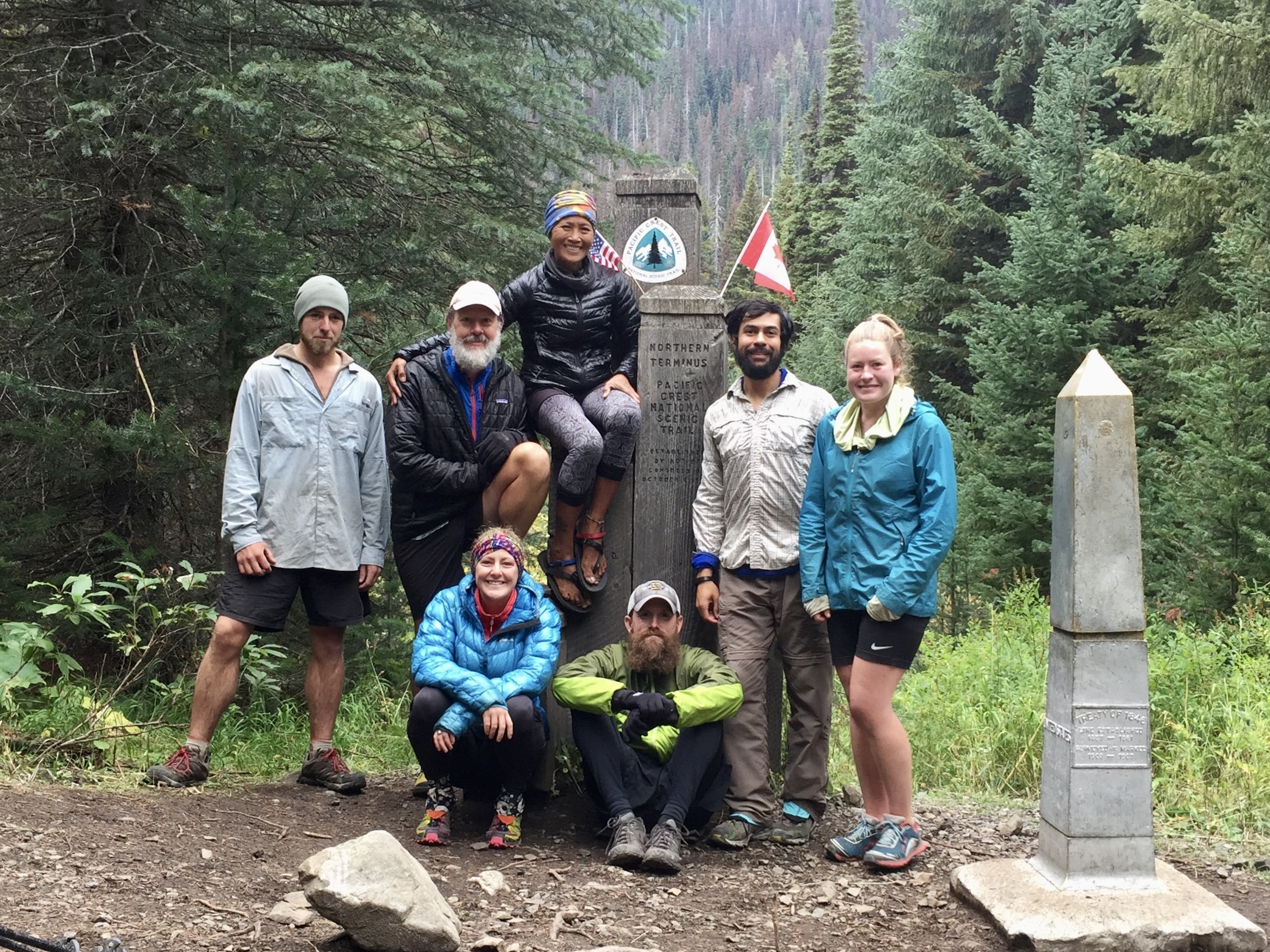
Border of Canada – 7th September 2015
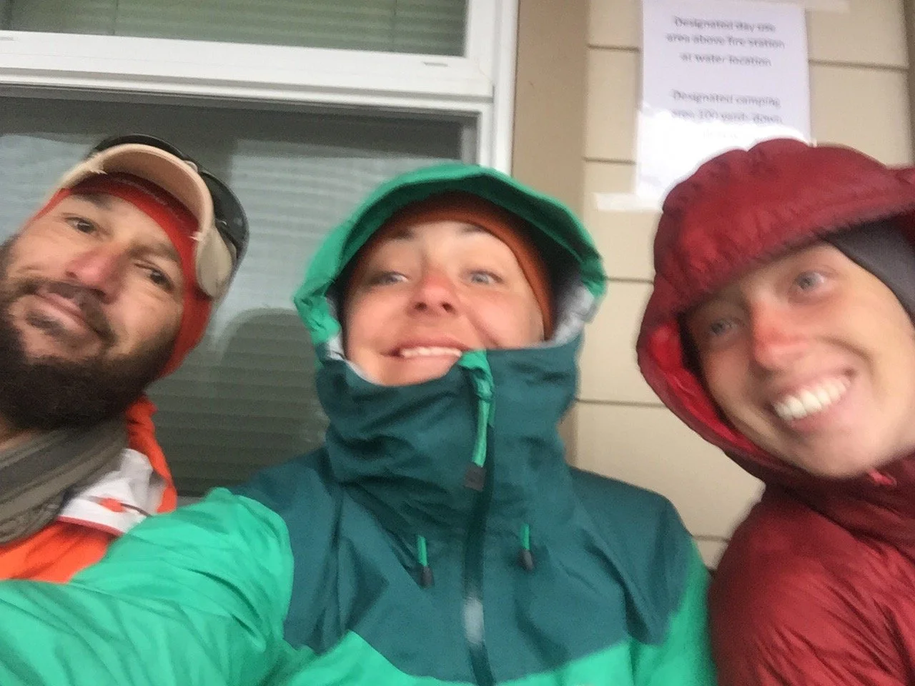
Finished on my birthday with my good friends Bumble, Light Feather, Farmer, Bonus Miles & Beer Goddess.
What is the Pacific Crest Trail?
In my opinion, it’s one of – possibly THE best – long distance hiking trails in the world.
I first hiked from Mexico to Canada in 2015 (NOBO) and I loved it so much I returned in 2016 to hike it again, this time from Canada to Mexico (SOBO).
The trail is so diverse, moving through the hot dry desert, into the high cold Sierra Nevada mountains and back into the hot hot heat of Northern California. Then into the exposed lava fields of Oregon, before finishing in the magical mossy forests of Washington.
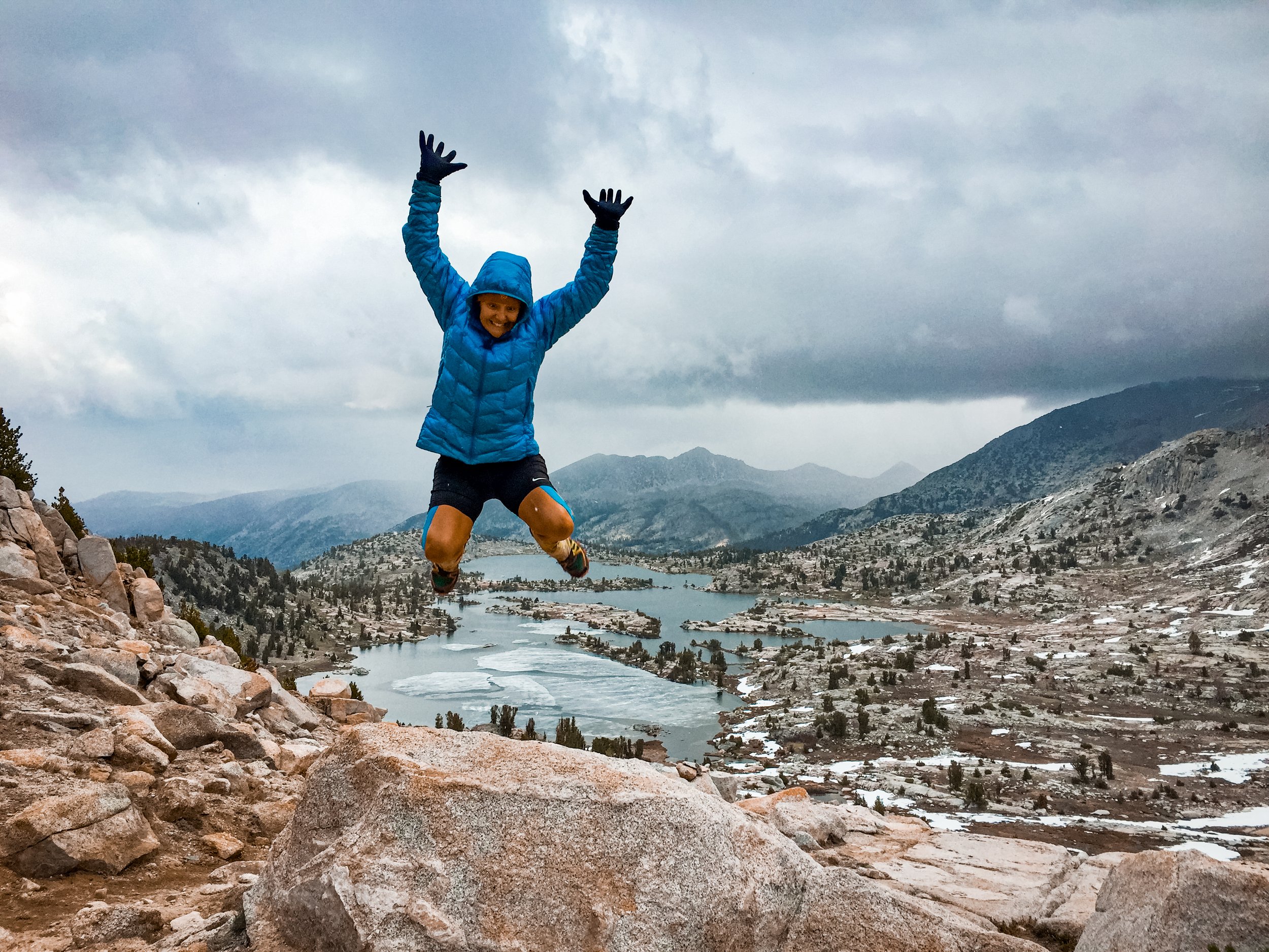
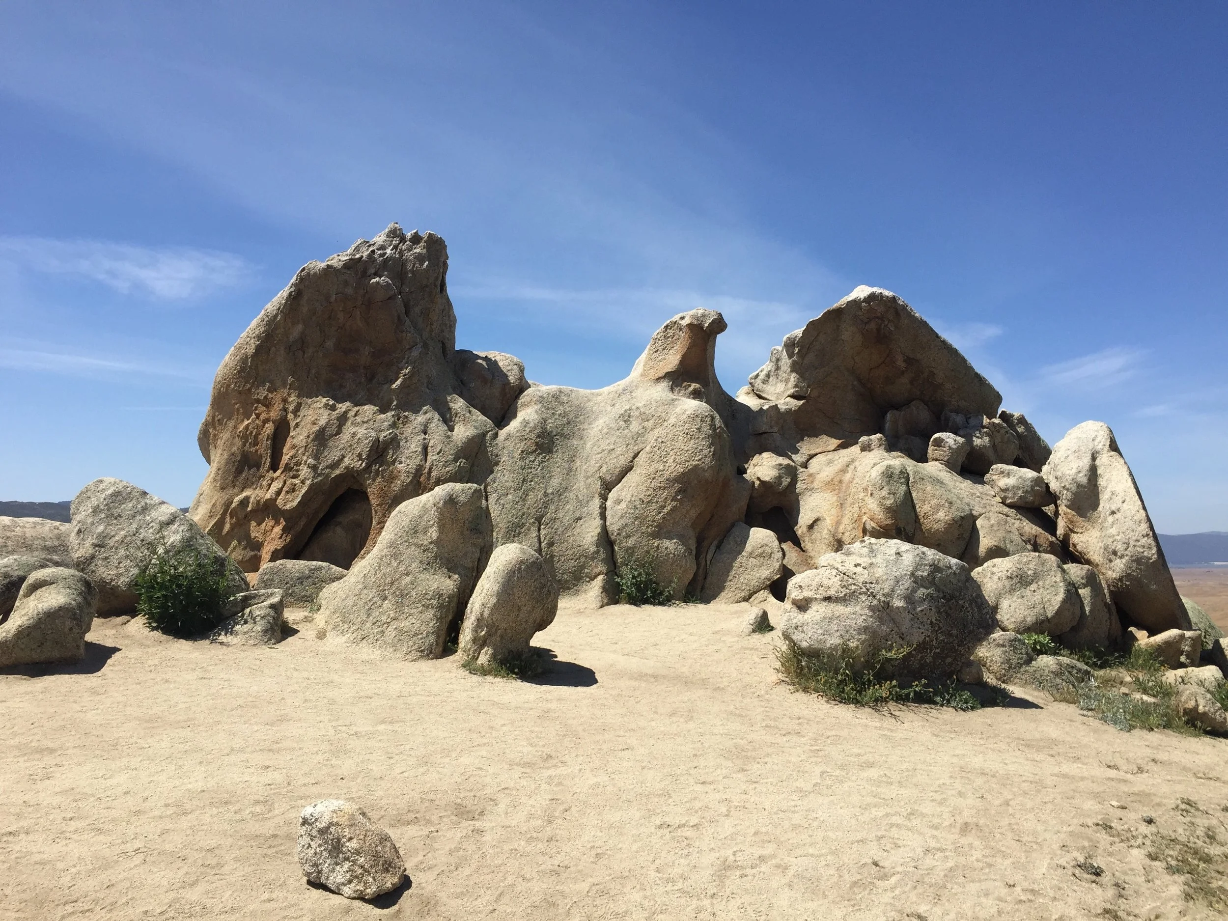
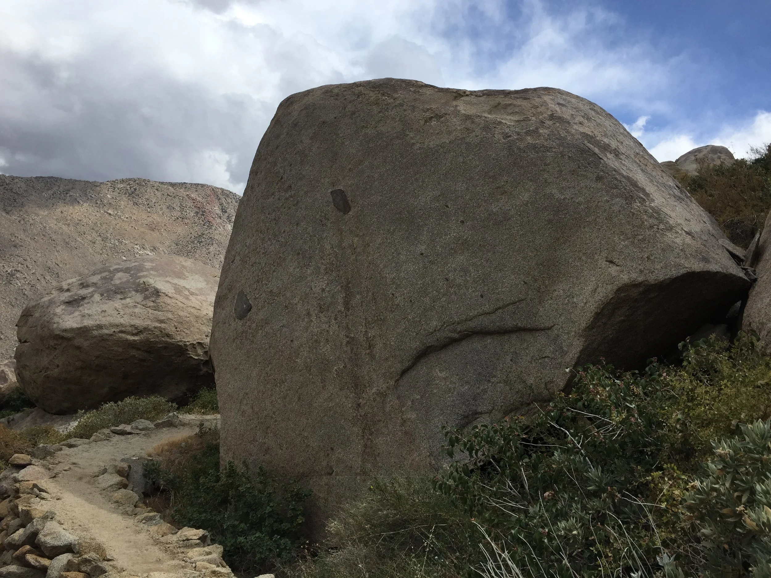
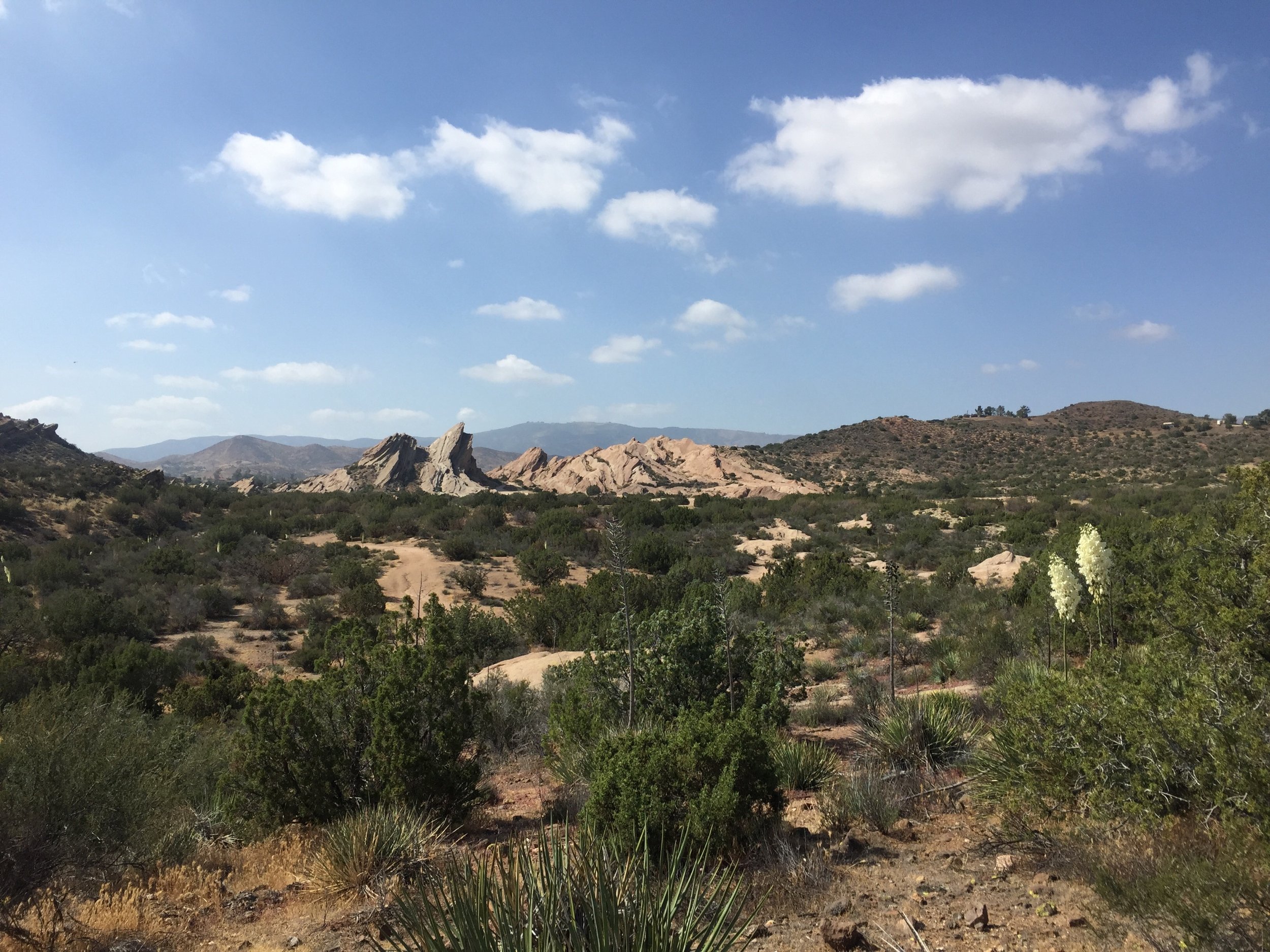
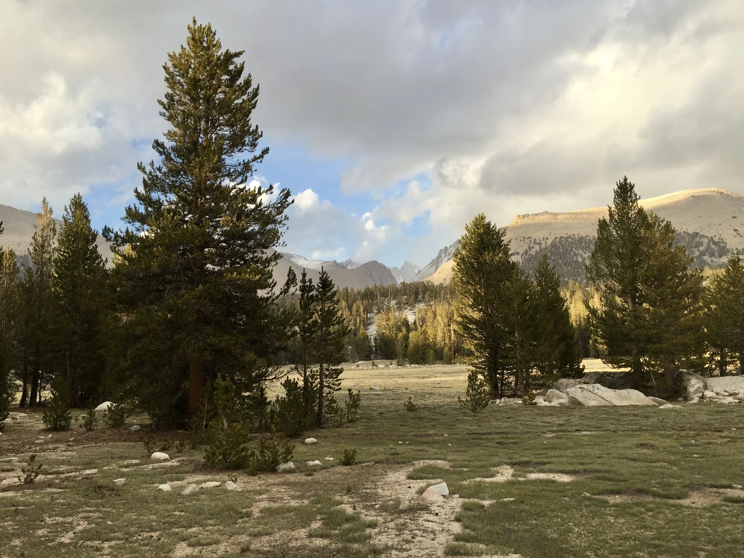
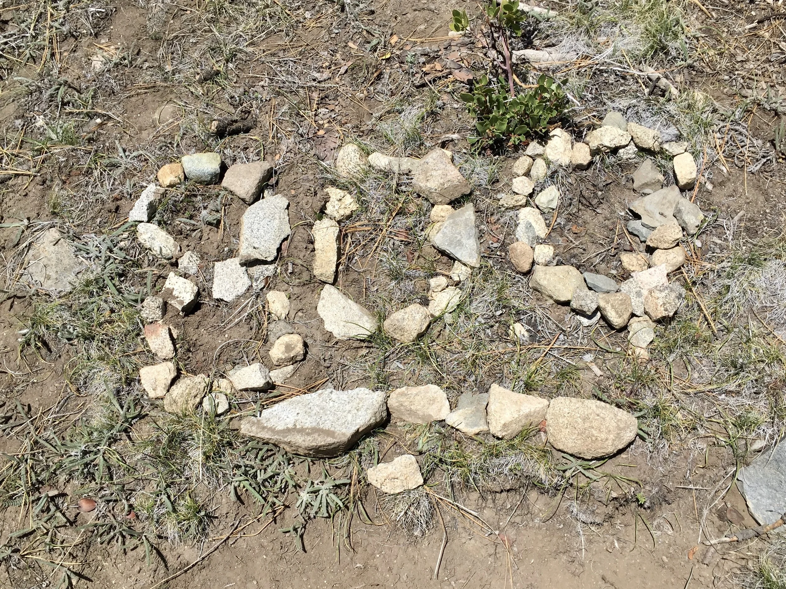
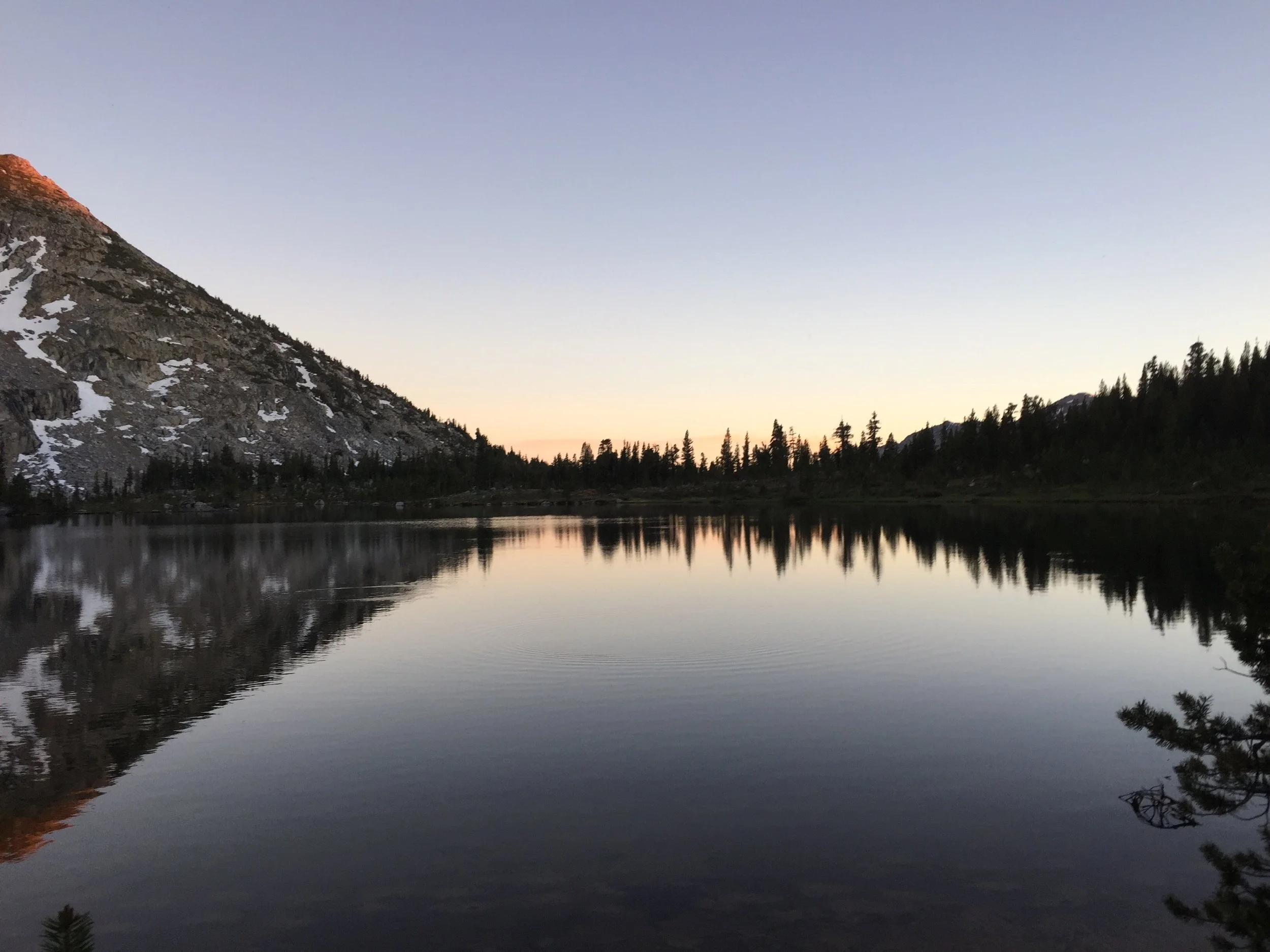
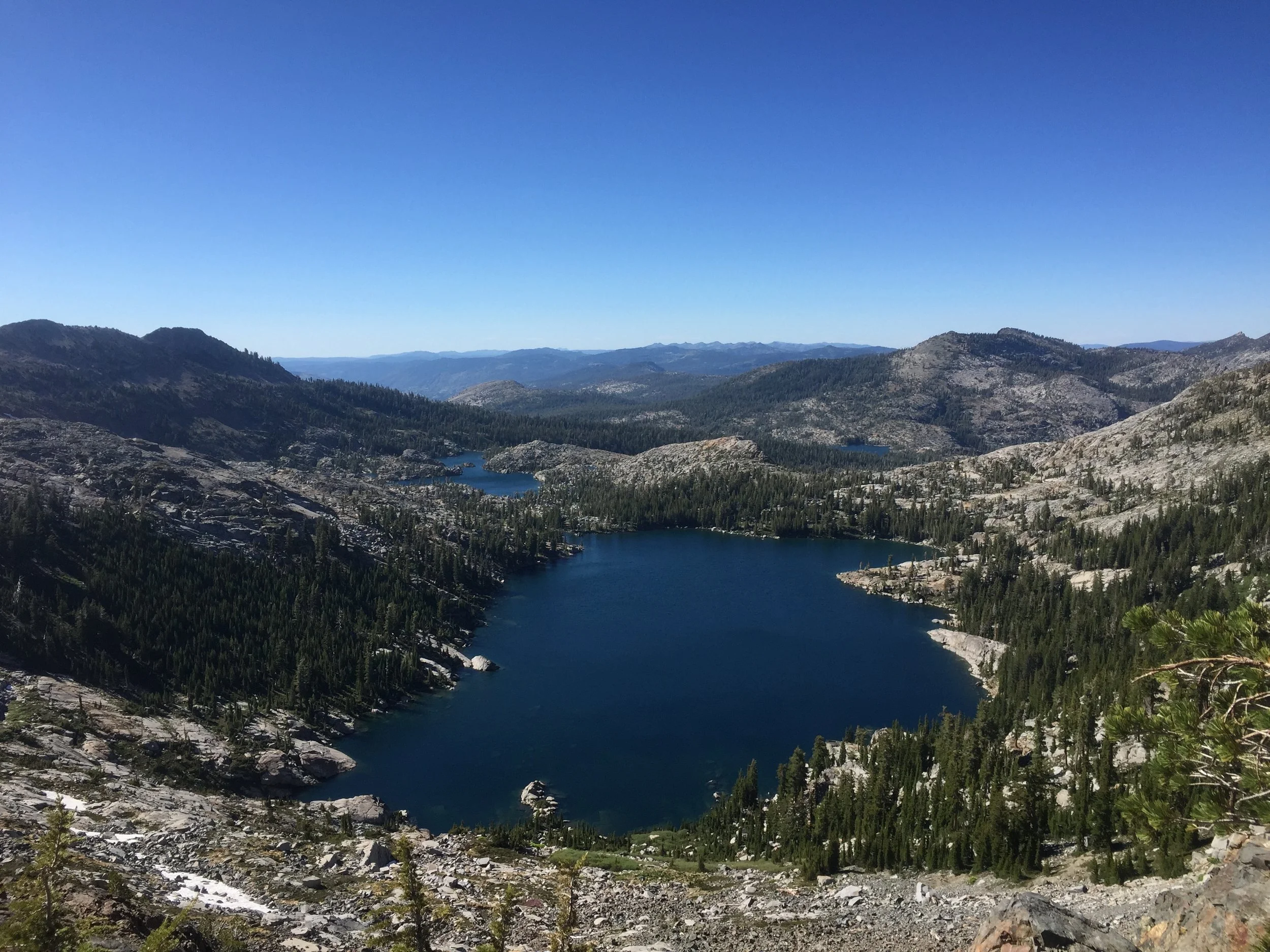
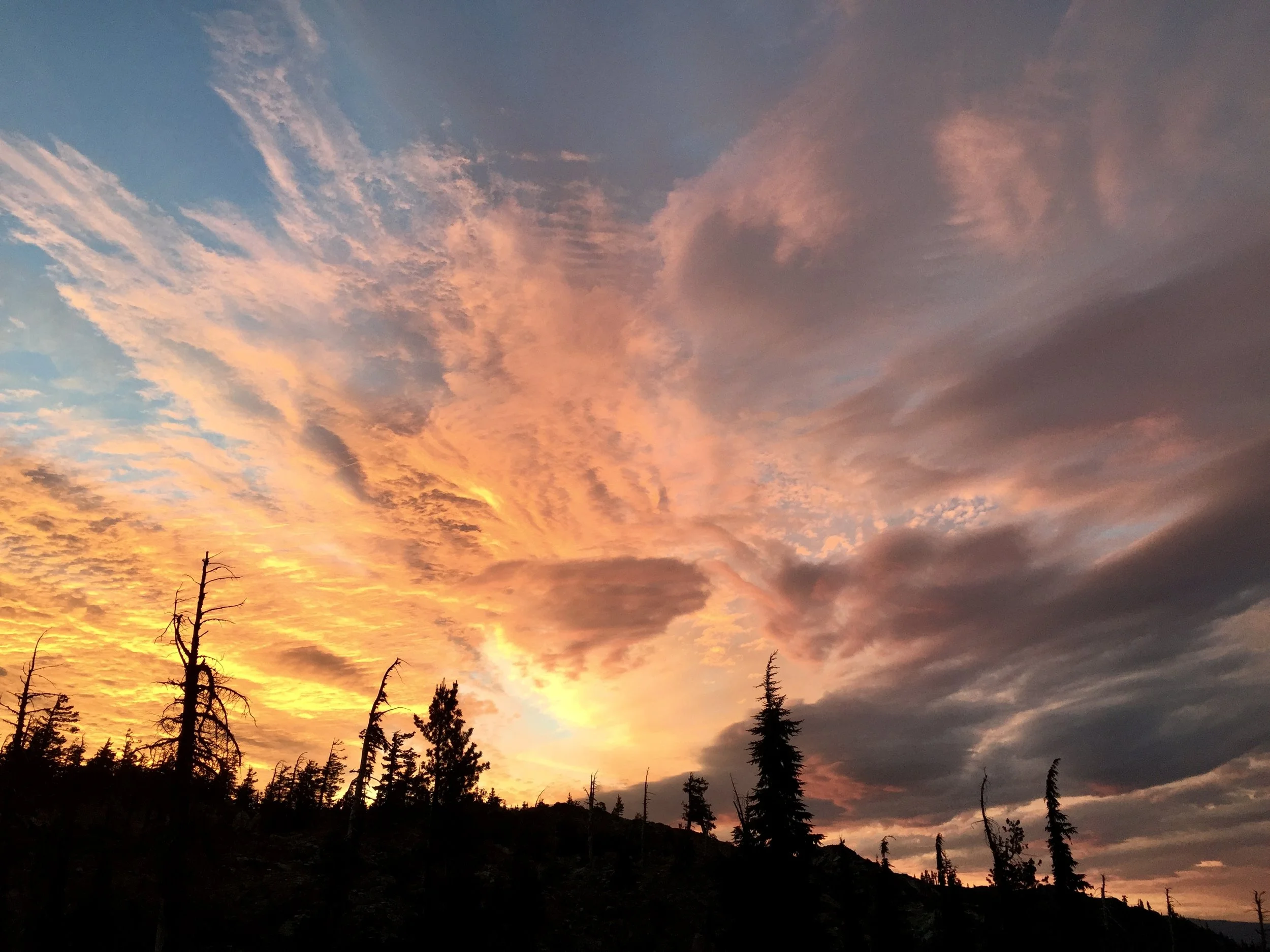
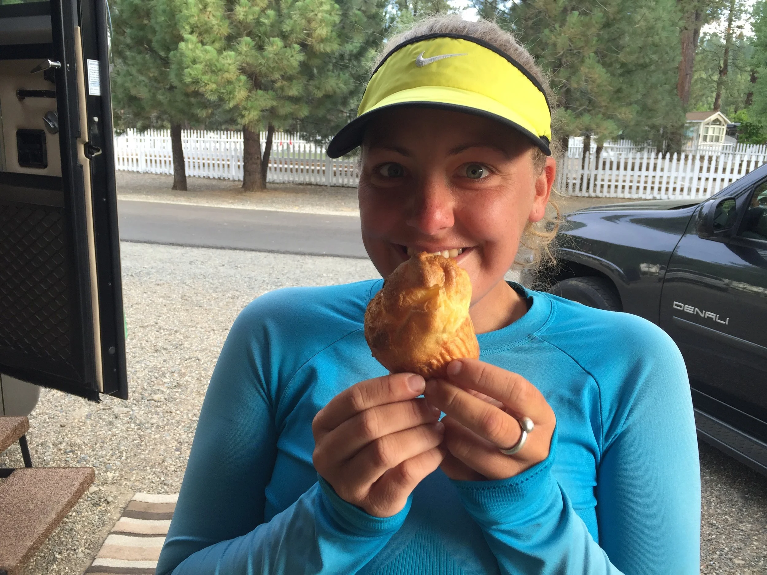
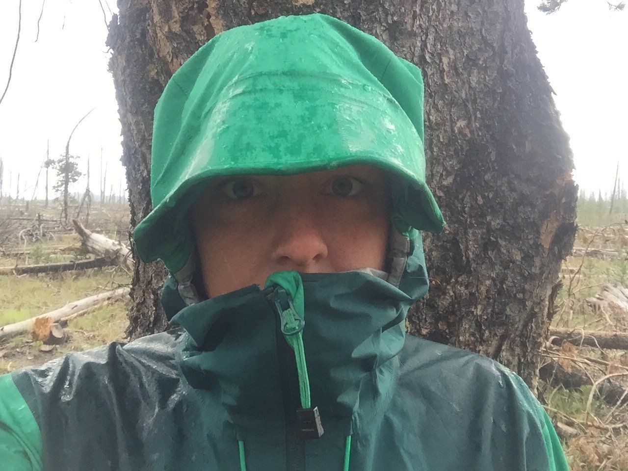
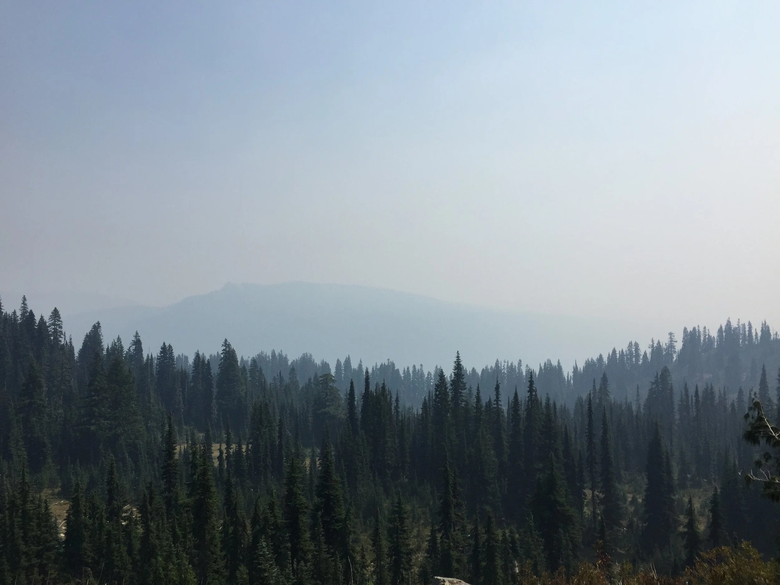
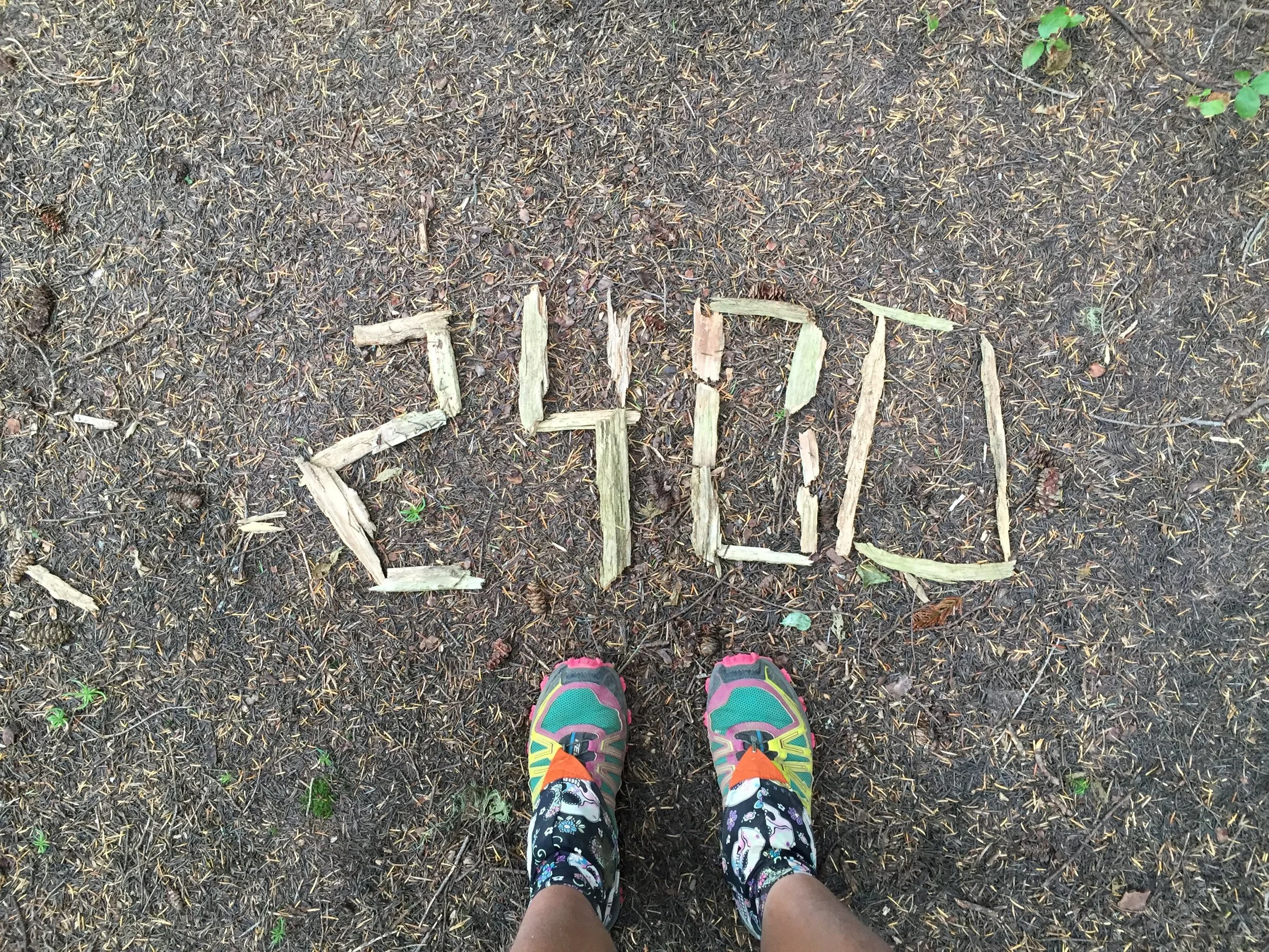
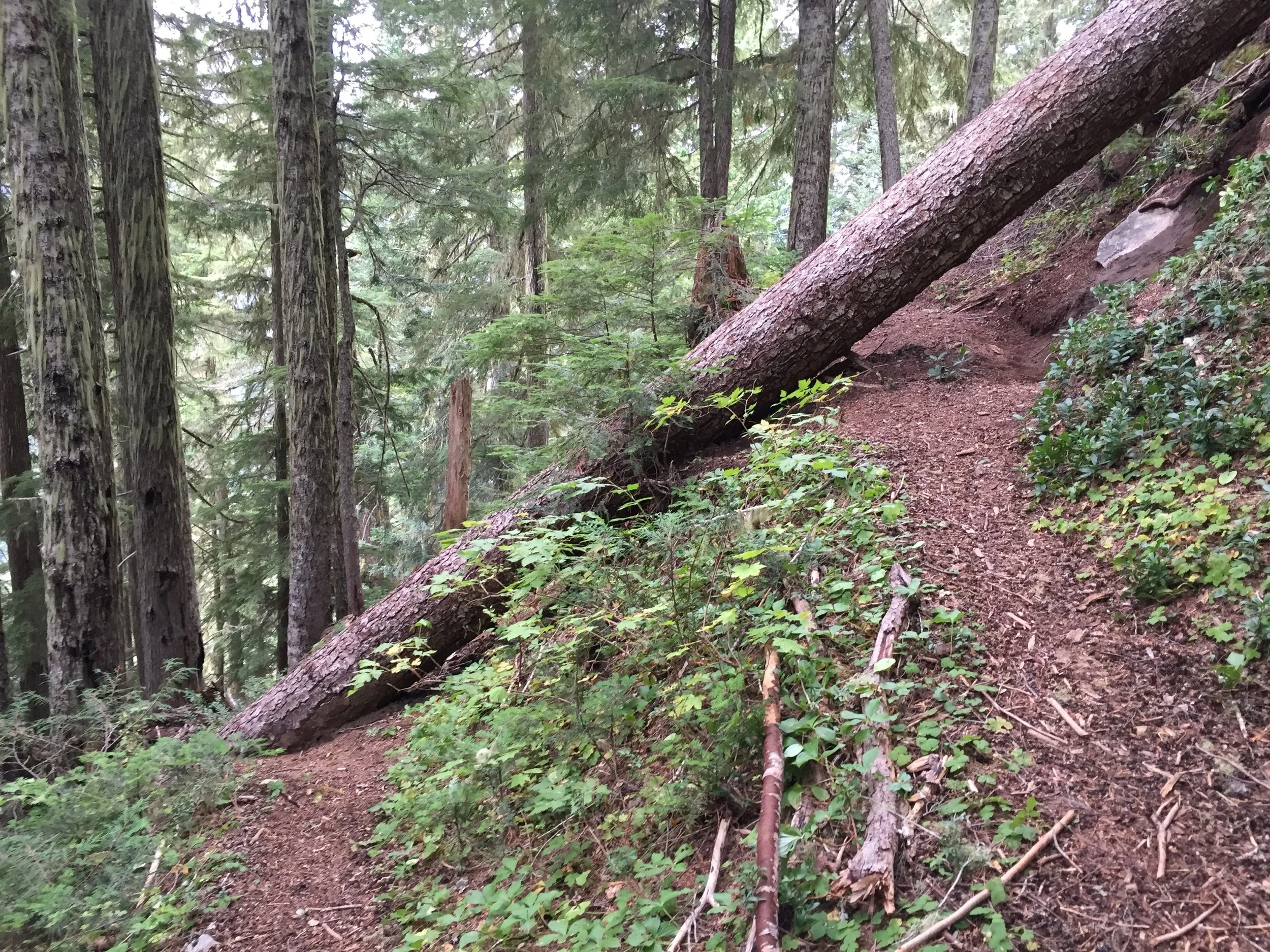
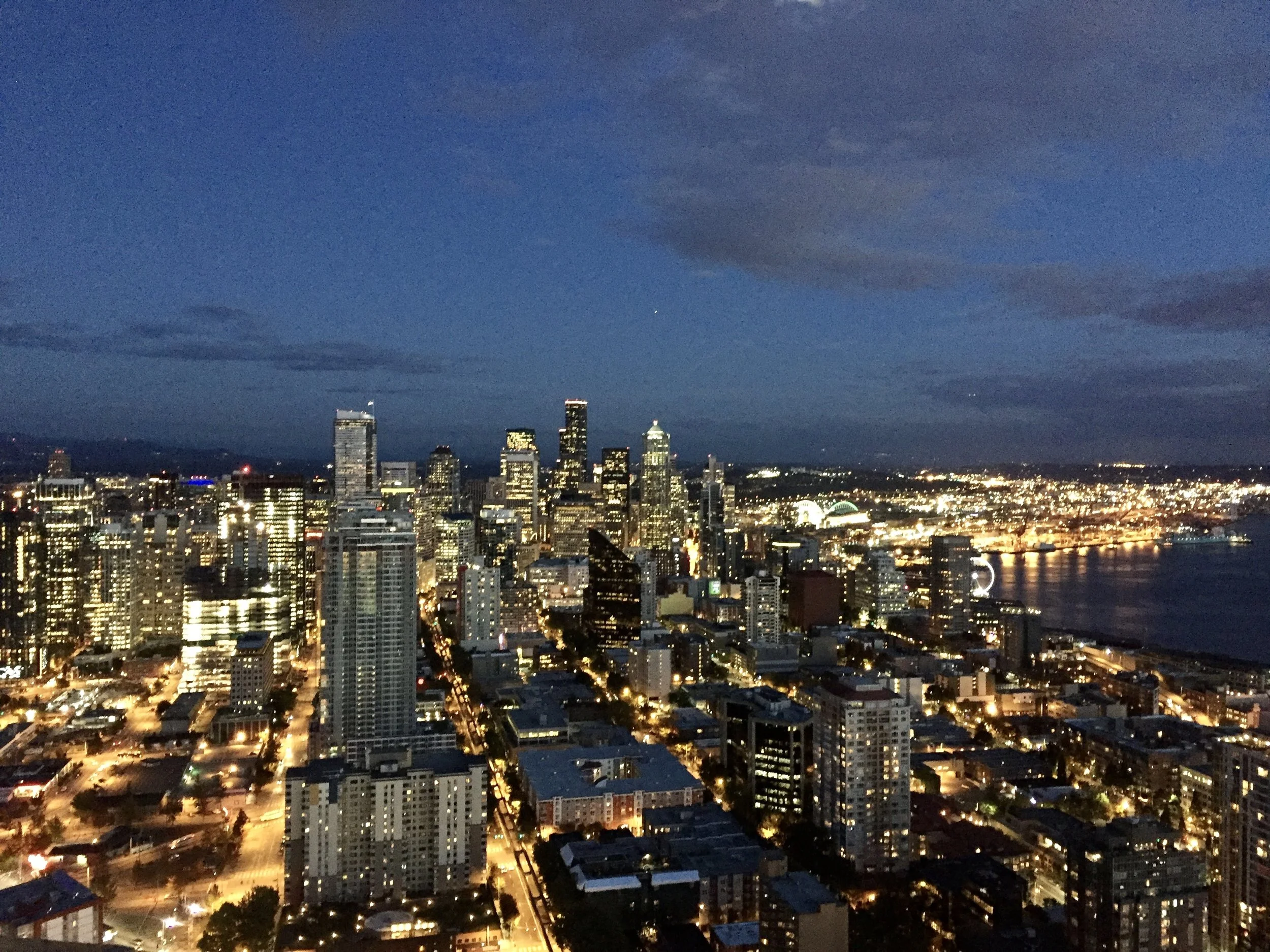
The Pacific Crest Trail in pictures
A small, but carefully curated, selection of photos from my northbound hike of the Pacific Crest Trail in 2015.


The Pacific Crest Trail in numbers
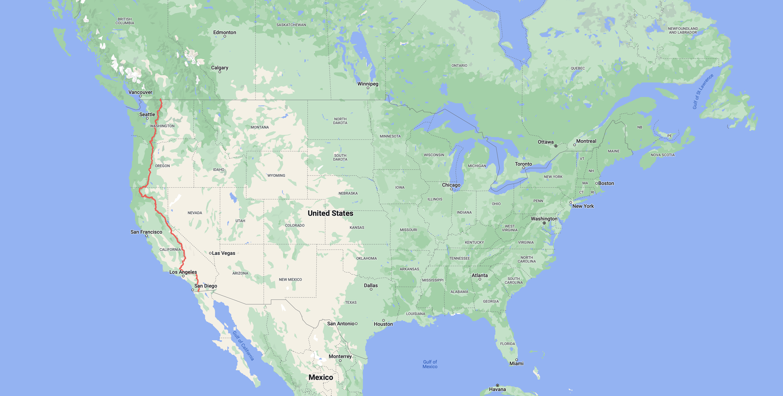
Location: USA: California, Oregon, Washington. Canada: British Columbia.
Southern Terminus: Campo, California
Northern Terminus: Washington/Canada border (which is in the middle of nowhere, so you have to walk 8 more miles to finish at Manning Park in Canada).
Distance: 2660 miles, plus extra for side trips to get water, trips into towns and side adventures like climbing Mt Whitney!
Highest Point: Forrester Pass 13,153ft / 4,009m
Lowest point: Cascade Locks 140ft / 43m
Elevation: +483,735 / -482,741 that’s the equivilant of climbing Everest – from sea to summit and back down again – over 16 times!!
Start: April 13th 2015
Finish: September 7th 2015
Plus: I went back to hike the closed section between Stevens Pass and Stehekin September 14-18th
Total number of days: 153
Hiking days: 135
Zero days: 18
Nero days (under 10 miles): 13
Average miles per day: 17.5 miles
Days over 30 miles: 4
Highest mileage day: 35 miles
Nights with trail angels: 20
Nights in paid accommodation: 21
Solo camp: 7
Nights in my tent: 111
Trail magic: 64
Blisters: 2
Storms: 10
Showers: 29
Resupply: 30
Real food: 83
Hot tubs: 10
Laundry: 22
Days in snow: 14
Hitches with strangers: 40
Hitches with known people: 16
Cried: 10
Snakes seen: 6
Stick snakes seen: 4,863
Bears seen: 2 possible 1 definite
The Pacific Crest Trail in words
Here you will find a day by day account of my northbound hike on the Pacific Crest Trail in 2015. In order. From start to finish. Highs, lows, physical challenges, emotional challenges. Warts and all.

San Diego

PCT day 1 - Highs and lows. Ups and downs.

PCT day 2 – Check the map

PCT day 3 – Magical Mt Laguna

PCT day 4 – Realisation

PCT day 5 – Triple trail magic

PCT day 6 – Hot. Hostile. Spiky. Dry. Dusty. Brown.
PCT day 7 – 100 miles!

PCT day 8 – A day of two halves.

PCT day 9 – Bodily functions.

PCT day 10 – A trip to paradise.

PCT day 11 – Idyllwild, where everybody knows your name.

PCT day 12 – Mountains are calling.
PCT day 13 – We're going down.

PCT day 14 – Double Puff.

PCT day 15 – Getting high.

PCT day 16 – Nature calls.

PCT day 17 – Big Bear Lake.

PCT day 18 – An almost perfect day.

PCT day 19 – The people we meet.

PCT day 20 – Hot springs.

PCT day 21 – McDonalds is never a good idea.

PCT day 22 – above the clouds.

PCT day 23 – Wrightwood

PCT day 24 – Baden Powell.
PCT day 25 – Hotcold

PCT day 26 – Snow in Southern California.
PCT day 27 – An easy day.

PCT day 28 – Casa de Luna

PCT day 29 – Detour

PCT day 30 – 35 miles in one day is a long way.

PCT day 31 – Tired

PCT day 32 – Tehachapi

PCT day 33 – Tehachapi part two

PCT day 34 –Back in the wind farms.

PCT day 35 – All aboard the struggle bus.

PCT day 36 – Not quite to plan.

PCT day 37 – Making up the miles.

PCT day 38 – Ascent

PCT day 39 – Running to Kennedy Meadows

PCT day 40 – And relax.

PCT day 41 – We've got to get out of this place!

PCT day 42 – Almost back on track.

PCT day 43 – We are definitely in the Sierra now.
PCT day 44 – A huge day.

PCT day 45 – Mt Whitney

PCT day 46 – Forrester Pass

PCT day 47 – Kearsarge Pass

PCT day 48 – Lone Pine

PCT day 49 – Glen Pass
PCT day 50 – Inner demons.

PCT day 51 – Two passes in one day.

PCT day 52 – The most difficult of all the passes.

PCT day 53 – Selden Pass

PCT day 54 – Change of plan.

PCT day 55 – Storms approaching.

PCT day 56 – Reds Meadow

PCT day 57 – Mammoth

PCT day 58 – Food is heavy.

PCT day 59 – All by myself.

PCT day 60 – Days like these.

PCT day 61 – A change of scene.

PCT day 62 – Hothot
PCT day 63 – Dorothy Lake.

PCT day 64 – One thousand miles!

PCT day 65 – The kindness of strangers.

PCT day 66 – Sunset

PCT day 67 – One man and his dog.

PCT day 68 – We nearly got it right.

PCT day 69 – Tahoe
PCT day 70 – Hike naked day.

PCT day 71 – Taking it easy.

PCT day 72 – Tinker Knob

PCT day 73 – Soda Springs

PCT day 74 – Big miles. Big smiles.

PCT day 75 – All about food.

PCT day 76 – A proper zero.
PCT day 77 – Back on the trail.

PCT day 78 – An unplanned stop.
PCT day 79 – An unplanned rest.

PCT day 80 – Fire!

PCT day 81 – Hot and humid.

PCT day 82 – Hike on down to party town.

PCT day 83 – 4th July.

PCT day 84 – Cold cherries.

PCT day 85 – We're half way there!!

PCT day 86 – Under the boardwalk.
PCT day 87 – Rain

PCT day 88 – Old Station

PCT day 89 – Hat Creek Rim

PCT day 90 – Burney Falls

PCT day 91 – Snake and fire in one day

PCT day 92 – Twix for breakfast

PCT day 93 – Up down up down

PCT day 94 – Shasta

PCT day 95 – Queen of Soda Creek

PCT day 96 – 1500 miles

PCT day 97 – Fat in 15

PCT day 98 – Jurassic park

PCT day 99 – Elevation

PCT day 100 – Etna

PCT day 101 – Not the best

PCT day 102 – Big miles

PCT day 103 – The long climb

PCT day 104 – Oregon!

PCT day 105 – Ashland

PCT day 106 – Callahans

PCT day 107 – Back on the trail

PCT day 108 – Tough day

PCT day 109 – I blame the mosquitos

PCT day 110 – Magic

PCT day 111 – Crater lake

PCT day 112 – Smokey

PCT day 113 – Rain

PCT day 114 – Lakes

PCT day 115 – Out of the trees

PCT day 116 – Lava

PCT day 117 – Bend

PCT day 118 – Night hiking

PCT day 119 – 2000 miles and a bit more

PCT day 120 – All of the weather

PCT day 121 – Magic

PCT day 122 – All you can eat

PCT day 123 – Timberline

PCT day 124 – Eagle creek

PCT day 125 – Hello Washington

PCT day 126 – Limited views

PCT day 127 – 26 miles is easy

PCT day 128 – Mt Adams

PCT day 129 – Goat Rocks wilderness

PCT day 130 – The knife edge

PCT day 131 – A day at White Pass
PCT day 132 – Our dog wouldn't like it

PCT day 133 –To the cabin

PCT day 134 –Nothing but blue sky (and some clouds and a bit of smoke)

PCT day 135 – Snoqualmie

PCT day 136 – Zero miles

PCT day 137 – Zero miles part 2
PCT day 138 – Alpine Lakes wilderness

PCT day 139 – I wanted rain. I got rain.

PCT day 140 – Don't mess with me mousey

PCT day 141 – More rain!

PCT day 142 – The Dinsmores

PCT day 143 – Difficult decisions

PCT day 144 – Chelan to Stehekin

PCT day 145 – It's winter in Washington

PCT day 146 – Cold, really cold

PCT day 147 – I want it to end. I never want it to end.

PCT day 148 – Oh Canada!

Vancouver mini break

PCT day 149 – The missing miles

PCT day 150 – Those colours
PCT day 151 – Pacific Crest Obstacle Course

PCT day 152 – Almost there

PCT day 153 – The end
Epilogue
Go southbound…
In 2016 I returned to the Pacific Crest Trail, somewhere I believed I would only ever see once in my life, and I hiked the whole trail again. This time in the other direction – from Canada to Mexico – and I wrote about it again.